October 14, 2025
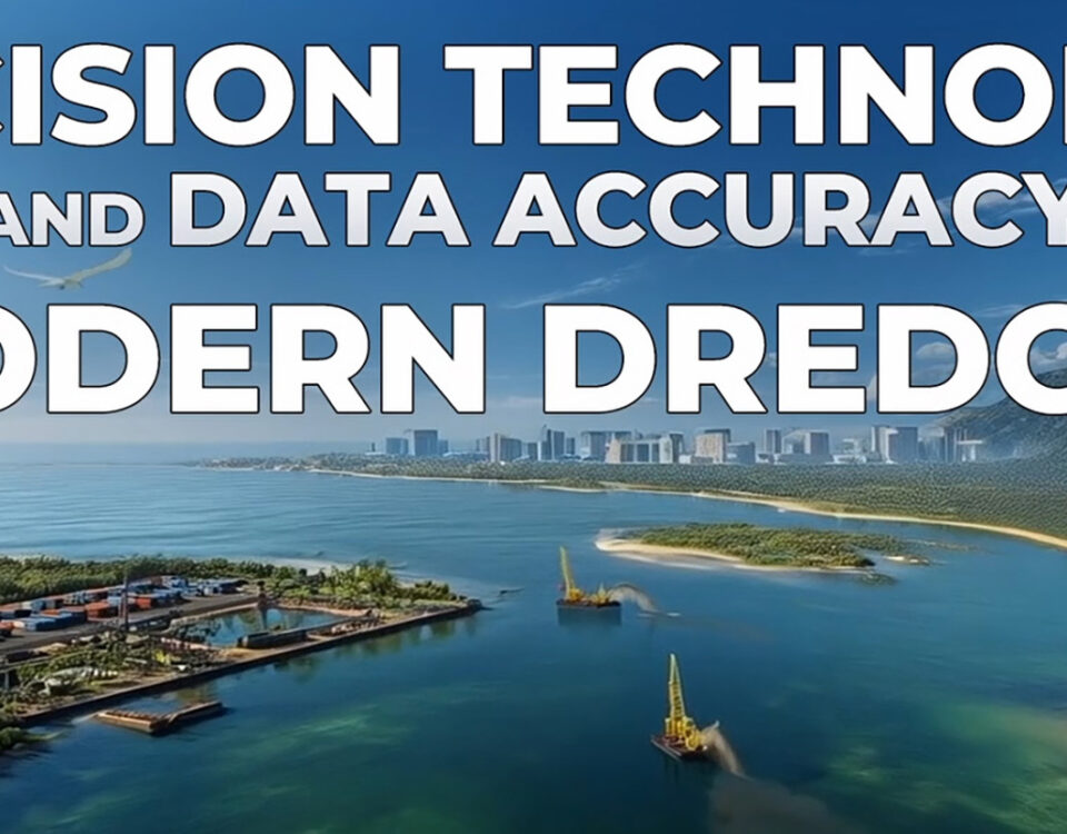
ARC Surveying and Mapping transforms complex waterways into measurable actionable insight. By pairing an integrated sensor suite with disciplined processing the firm delivers centimetre level bathymetry […]
October 14, 2025
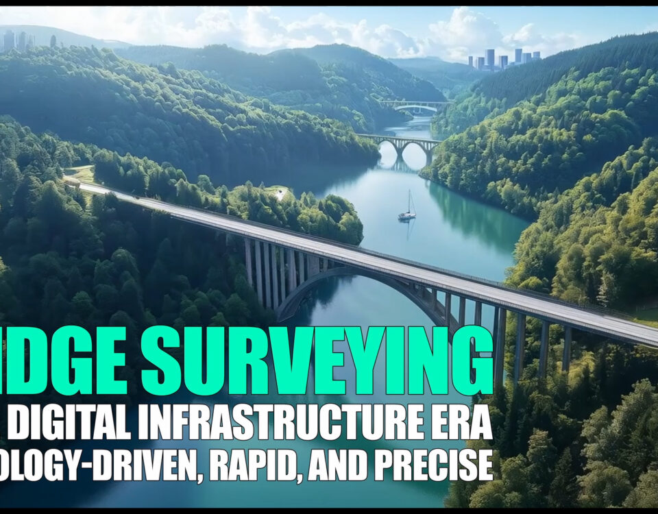
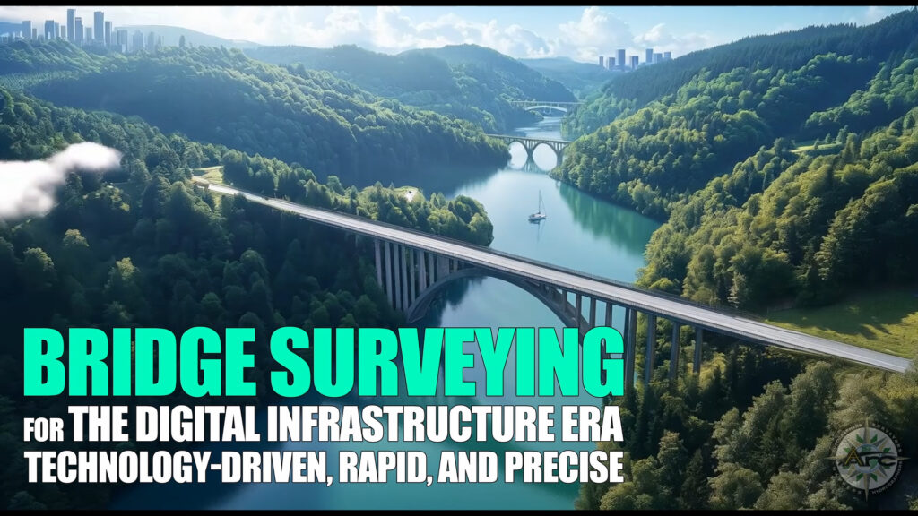
The New Standard for Bridge Intelligence Transportation agencies now expect survey data that moves as fast as today’s mobility demands. Every inspection cycle calls for centimeter-grade […]
October 14, 2025

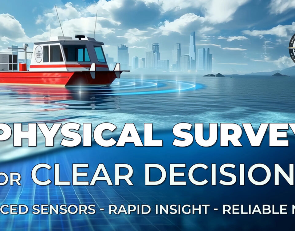
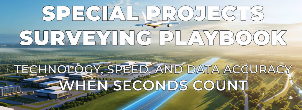
Owners, contractors, and agencies thrive on clear facts delivered fast. Special Projects bring together complex sites, moving schedules, and high public visibility, so survey intelligence must […]
October 14, 2025
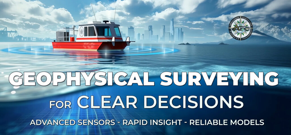
Why geophysical intelligence? Projects near waterways depend on a precise understanding of what lies above and below the bottom. Geophysical surveying turns hidden layers into decision-ready […]
October 14, 2025
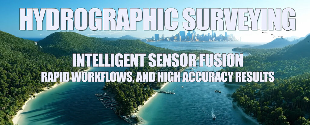
Hydrography as a performance discipline Modern hydrography turns dynamic waterways into precise, decision‑ready models. Multibeam swath sonar, dual‑frequency sounding, RTK/GPS control, and aerial or motion‑compensated laser […]
October 14, 2025
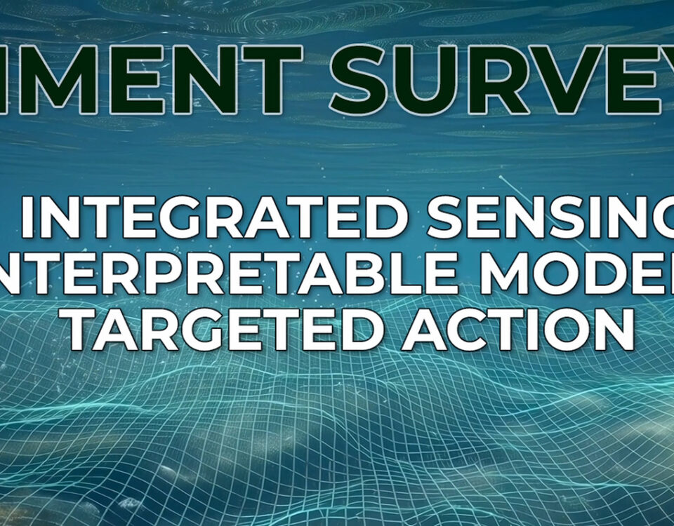
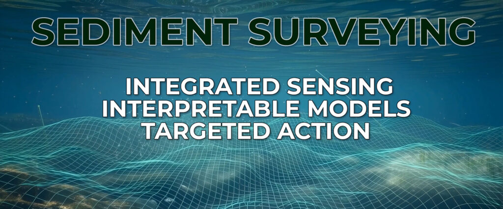
Expert perspective for environmental planners, port and harbor owners, and marine contractors Sediment intelligence directs better outcomes Marine projects succeed when every stakeholder sees the same […]
October 14, 2025

Owners, EPC teams, and marine contractors progress fastest when every meter of corridor is mapped, every crossing is known, and every burial depth is documented. Cable […]
October 14, 2025
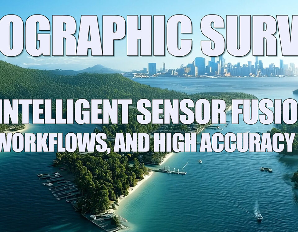
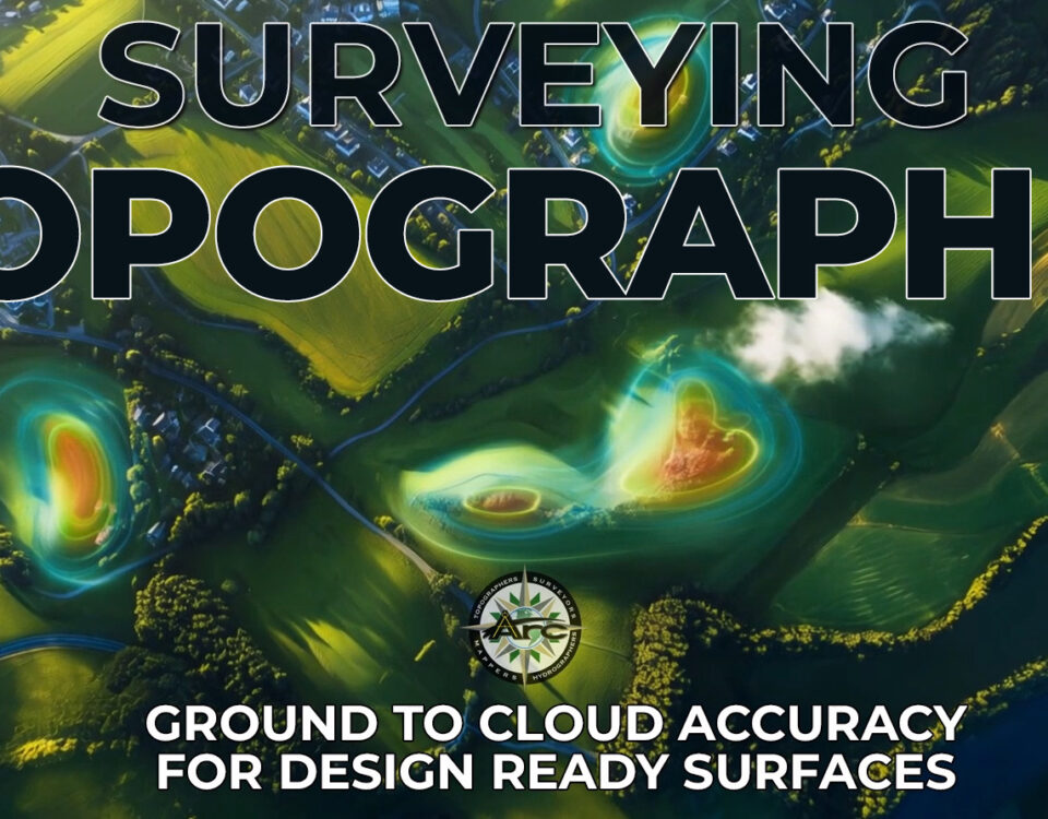
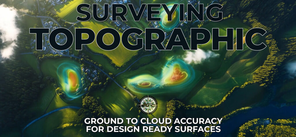
Topographic surveying turns complex ground conditions into clear models that engineers and builders can use immediately. When RTK GPS control, robotic total stations, UAV LiDAR, photogrammetry, […]
August 20, 2025
Industrial laser scanning is changing the way factories, power plants, and refineries operate. The technology captures site data quickly and with accuracy. That means plant upgrades […]