SEDIMENT SURVEYS
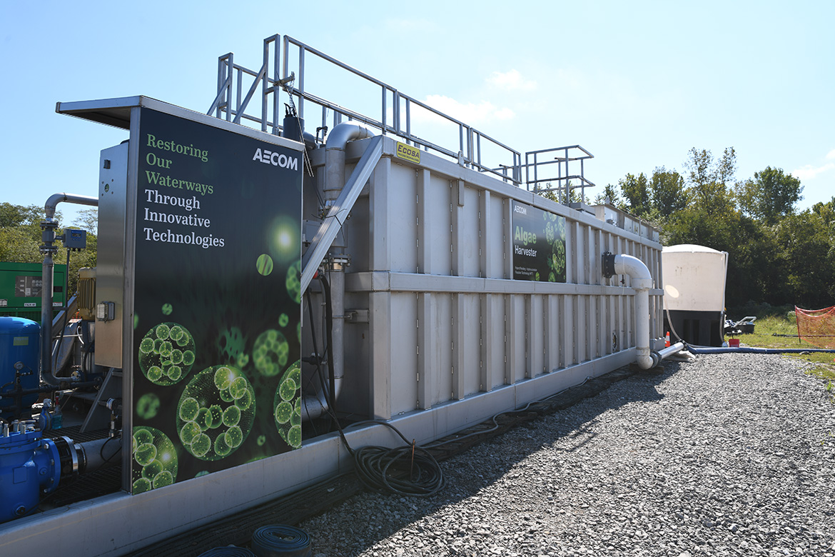
AECOM’s Cutting-Edge Algae Harvesting Hydronucleation Flotation Technology (HFT) is a revolutionary solution that harnesses the potential of algae to provide a complete, effective, and eco-friendly approach to mitigating Harmful Algal Blooms (HABs). The process utilizes advanced separation techniques to isolate and extract microscopic algae cells from their aquatic habitat. This intricate extraction process eliminates the very elements that fuel HABs — nitrogen and phosphorus. Additionally, the technology capitalizes on the natural ability of algae to sequester carbon dioxide. Algae are known to be efficient at capturing carbon dioxide from the environment, which can help in mitigating greenhouse gas emissions and combating climate change.
The ability of HFT to tackle two significant environmental challenges — HABs and carbon dioxide levels — underscores its potential as a transformative solution. HABs can disrupt aquatic ecosystems, causing damage to marine life and even posing health risks to humans who come into contact with contaminated water. By effectively removing the nutrients that fuel these harmful blooms, the technology could mitigate their negative effects and promote clean water.
For a deeper understanding of AECOM's breakthrough algae harvesting technology, reach out to us at AskEnvironment@aecom.com.
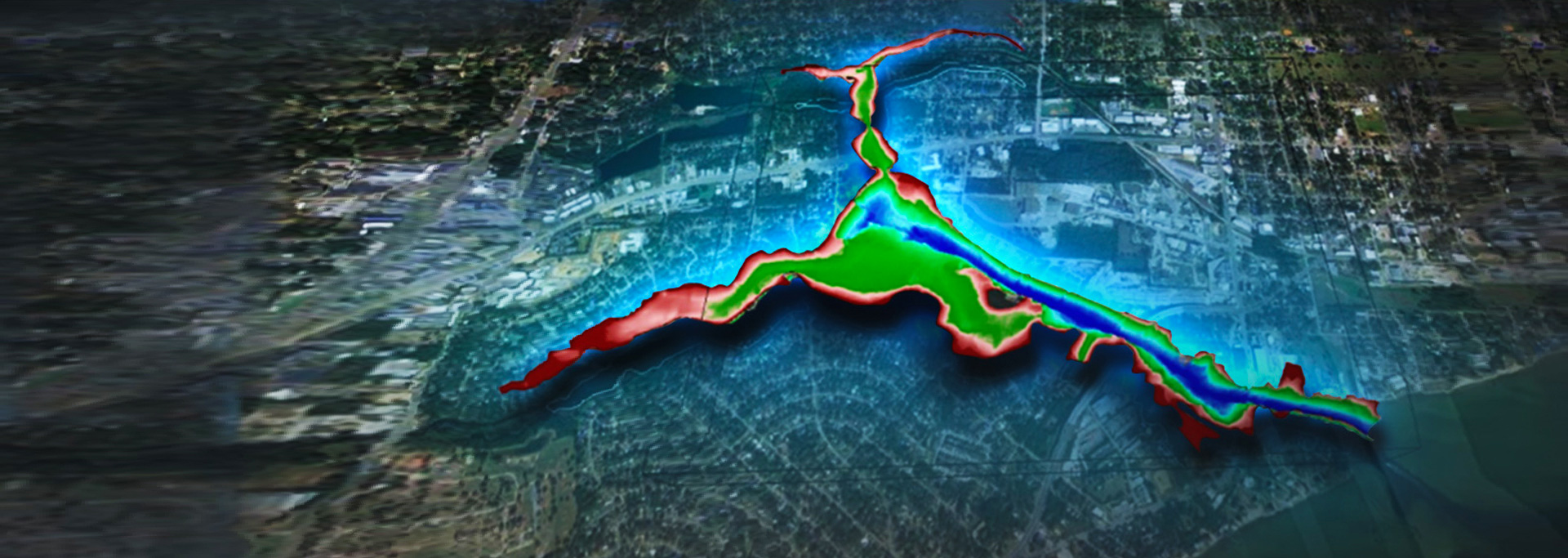
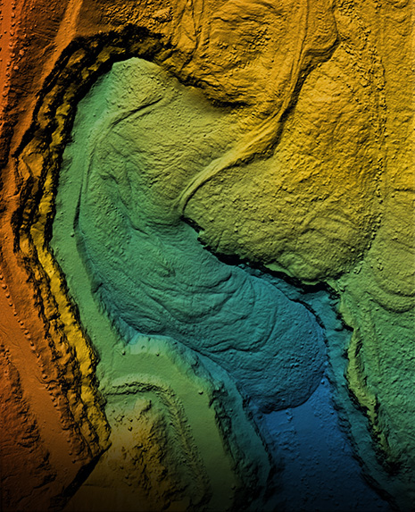
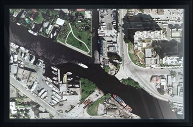
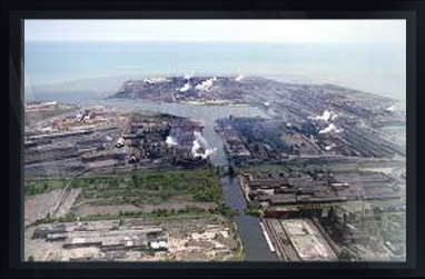
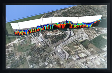
Arc Surveying & Mapping, Inc. provides nationwide bathymetric and geophysical surveys of contaminated marine sediment sites.
Arc provides 3D models illustrating the subsurface geology allowing our clients to select boring locations based on science rather than randomly.
Borings are incorporated into the 3D model, illustrating the geotechnical characteristics of the sediments, including chemical analysis.
Contaminants exceeding EPA or other agency limit requirements are red, and those below-required limits are green.
...
ENVIRONMENTAL PROJECT SAMPLES
CLICK ON IMAGE FOR DESCRIPTION

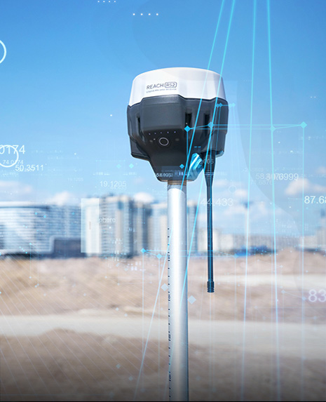
hydrographic, topographic, geophysical, static and mobile Laser scanning, shoaling surveys, probing, contaminated sediment surveys, acoustic doppler current profiling, quantity calculations, Blueview imagery, side-scan sonar imagery, condition, pre and post dredging surveys, chemical analysis, magnetometer surveys, deformation, emergency, structural monitoring, crane measurements, berth surveys, drone (UAV) LiDAR, video and photogrammetric inspection surveys, 3D Interactive modeling, asset management, geographic Information systems, GIS, AutoCAD, MicroStation