
BRIDGE SURVEY SHOWCASE GALLERY
BRIDGE PROJECTS SAMPLES
CLICK ON IMAGE FOR DESCRIPTION

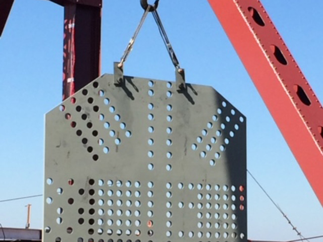
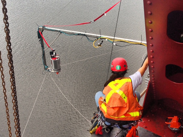
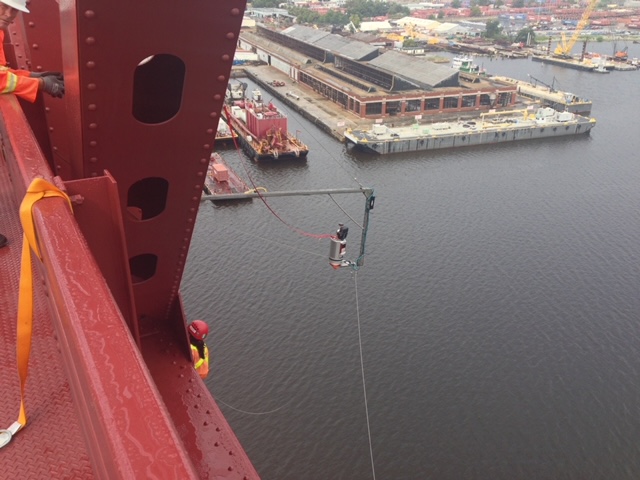
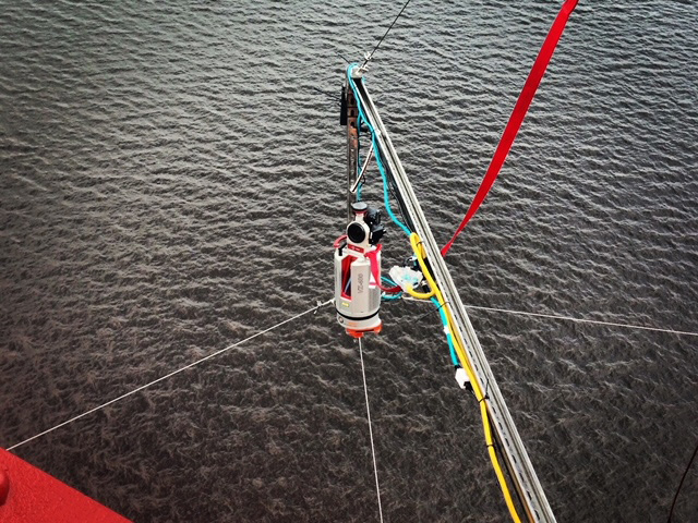
Arc Surveying & Mapping, Inc. working with the Department of Transportation, developed the scour surveying program to monitor underwater conditions at bridge foundations and support structures.
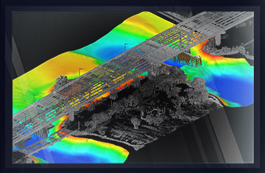
To identify and monitor scour-prone bridges, a baseline survey is performed at each bridge, identifying the existing above and below-water conditions with close detail regarding sediment elevations at each support.
After strong water movement events such as excessive flows caused by hurricanes, heavy rain, and tidal events, a second survey is performed. Isopachs are generated comparing surveys, and scour is identified by color coding scour elevations red - immediately bringing scour to the attention of the client.
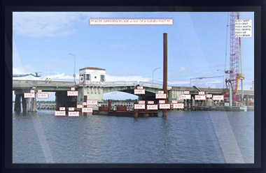
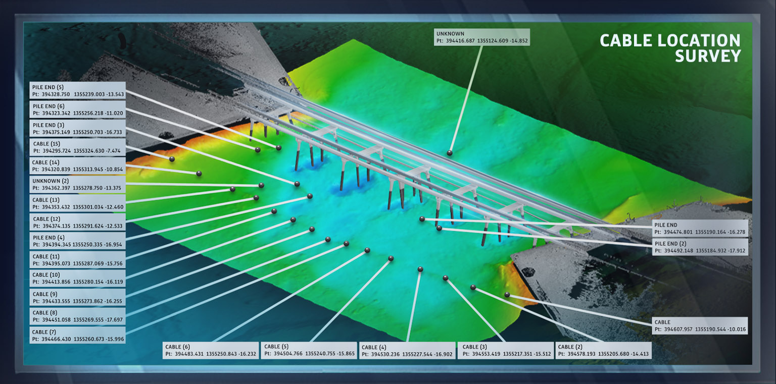
In addition, sediment movement quantities are calculated, from which the need for countermeasures may be determined. During post-storm scour surveys, exposed cables, pipelines, sunken vessels, and debris are observed and identified on maps.
PROFESSIONAL BRIDGE SURVEYING SERVICES
hydrographic, topographic, geophysical, static and mobile Laser scanning, shoaling surveys, probing, contaminated sediment surveys, acoustic doppler current profiling, quantity calculations, Blueview imagery, side-scan sonar imagery, condition, pre and post dredging surveys, chemical analysis, magnetometer surveys, deformation, emergency, structural monitoring, crane measurements, berth surveys, drone (UAV) LIDAR, video and photogrammetric inspection surveys, 3D Interactive modeling, asset management, geographic Information systems, GIS, AutoCAD, MicroStation