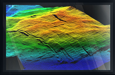
San Juan Harbor, Puerto Rico Deepening & Widening Survey
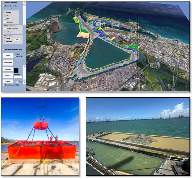
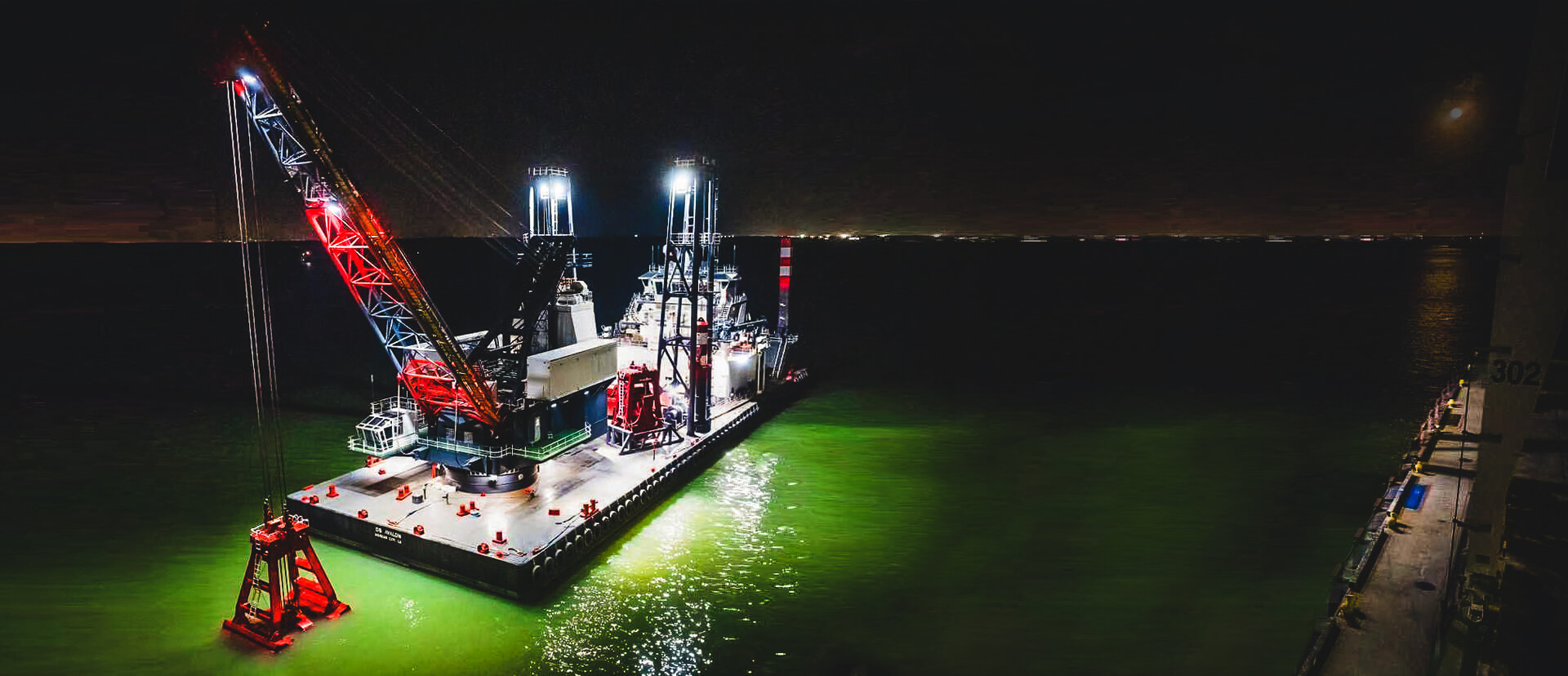
Curtin Maritime specializes in clamshell dredging, tackling large scale capital projects with difficult geotechnical conditions. We carry many different sized buckets in our fleet to tackle varying strata of material and it's important that we are able to select the correct tool for the job each and every day. The industry standard for project owners is to provide typically outdated boring logs taken sporadically through the dredge areas to provide an idea of what the geological composition of the in-situ dredge material is.
While a trusted and true method, it requires a lot of interpolation and can lead to many inaccuracies, which then leads to poor planning for project bucket utilization. Swapping between different buckets frequently can cause lengthy downtime delays and increased costs and schedule for stakeholders.
A more concise method is to perform a geophysical survey to create visual and digital understanding of the of the dredge template, like the method that Arc Surveying & Mapping is leading in the US.
We recently hired Arc to conduct a geophysical survey for our deepening and widening project in San Juan, Puerto Rico: a project slated to be our company's most complicated bucket strategy yet due to varying resistance values in the material. Arc was able to create a 3D model mapping our dig areas with different useful visuals depending on how we needed to plan.
The data from the survey has lined up better than any boring log ever has based on material we've removed to date, and we at Curtin can recommend that federal agencies, ports, and harbors should consider this service as a valuable investment tool for any capital dredging project that's guaranteed to save on cost and schedule.
Kyle Herrick
cell: 386-847-4692
email: kherrick@curtinmaritime.com
DREDGING PROJECT SAMPLES
CLICK ON IMAGE FOR DESCRIPTION
DREDGING SURVEYS
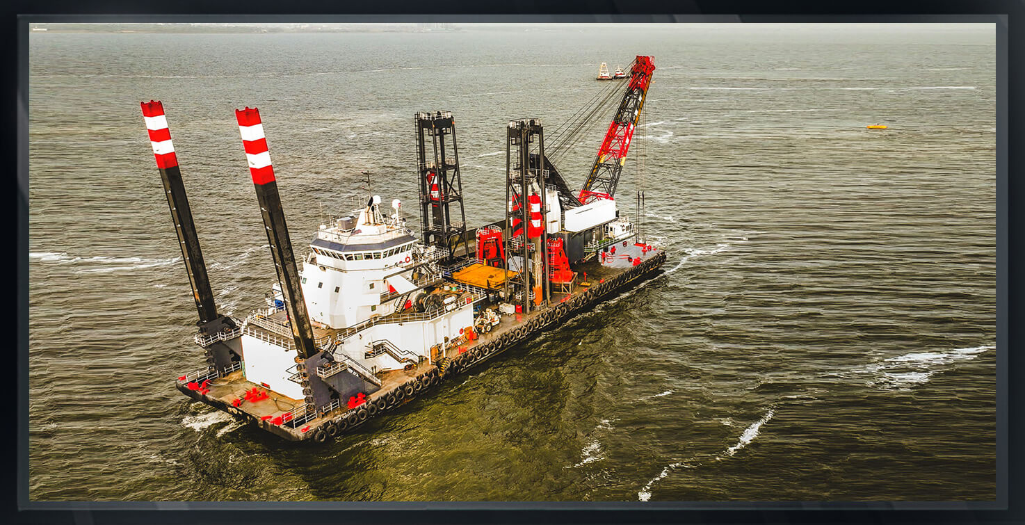
Arc Surveying & Mapping, Inc. has over thirty-five (35) years of dredging surveying experience on projects ranging from small waterside subdivision canal maintenance dredging to large scale harbor and navigation channel deepening.
No job is too big or too small.
Arc’s hydrographic and geophysical survey crews are equipped to mobilize to any location in North and South America, including the Caribbean.
hydrographic, topographic, geophysical, static and mobile Laser scanning, shoaling surveys, probing, contaminated sediment surveys, acoustic doppler current profiling, quantity calculations, Blueview imagery, side-scan sonar imagery, condition, pre and post dredging surveys, chemical analysis, magnetometer surveys, deformation, emergency, structural monitoring, crane measurements, berth surveys, drone (UAV) LIDAR, video and photogrammetric inspection surveys, 3D Interactive modeling, asset management, geographic Information systems, GIS, AutoCAD, MicroStation

