BARTRAM ISLAND CELL C DESIGN SURVEYS
...
JACKSONVILLE, FLORIDA
Arc Surveying & Mapping provided topographic and bathymetric surveys within and around a portion of Bartram Cell “C”.
The objective of the survey was to document accurate topographic and bathymetric existing site conditions in support of analysis and engineering design efforts for modifications to DDMA Cell C.
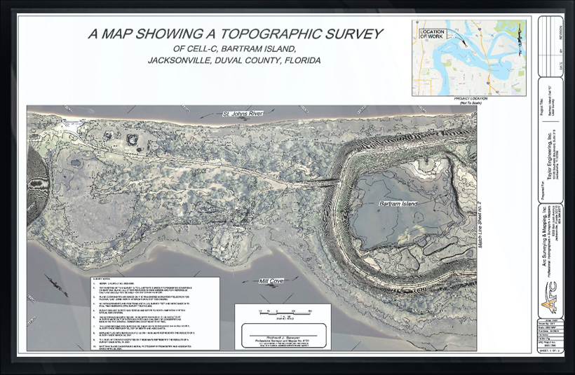
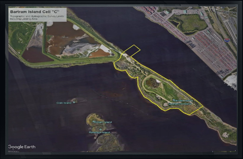
Topographic Survey: Survey within the projects limit, limited by edge of water to edge of water and to include a 500-foot buffer to the north and south project limits.
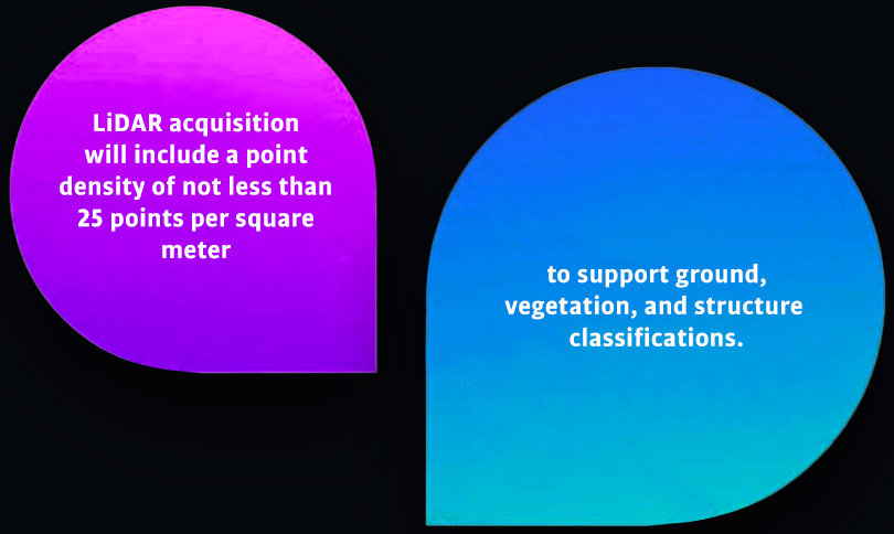
In addition, topographic data will be acquired at the JaxPort landing and access road to Cell C. Access road survey limits will be bound by the MHW line. Survey to be performed with a combination of airborne LiDAR and topographic conventional surveying methods.
In addition, high resolution digital aerial photography will be acquired suitable for production of three-inch pixel resolution and adequate to assure successful production of accurate ortho digital imagery.
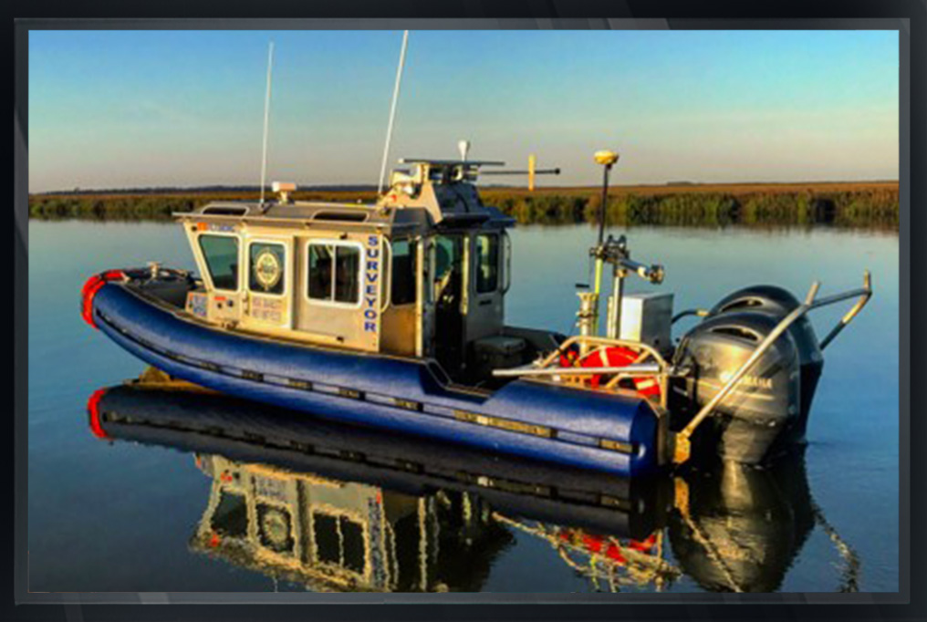
HYDROGRAPHIC SURVEY: HYDROGRAPHIC SURVEY ALONG THE EAST AND WEST SIDE OF THE PROJECT FROM WATER’S EDGE TO NAVIGABLE DEPTH.
Limits of survey was determined by the order of;
1) an adjacent Federal Channel
2) a depth of 15 feet from published mean low water, or
3) 500 feet from the shoreline, whichever limit is encountered first.
Wetland Location Survey: Located and mapped wetland delineation located by others.
Core Boring Location Survey: Located and mapped core boring locations performed by others.
ARC located the boring locations including position and elevation of the natural ground where borings were acquired.