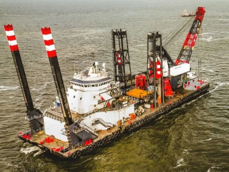
Arc Surveying & Mapping, Inc. has been selected by Curtin Maritime to provide hydrographic and geophysical surveying services on the Jacksonville District US Army Corps of Engineers San Juan, Puerto Rico channel improvement project.
San Juan Harbor Maintenance & Construction Dredging
The work consists of construction and maintenance dredging in designated areas of the Federal Navigation Channel and Puerto Rico Ports Authority (PRPA) berthing area and involves constructing 50 feet of new channel on both sides of the Army Terminal Channel to increase the total channel width by 100 feet from 350 feet to 450 feet. The San Juan dredging project has an estimated completion date of August 2024.
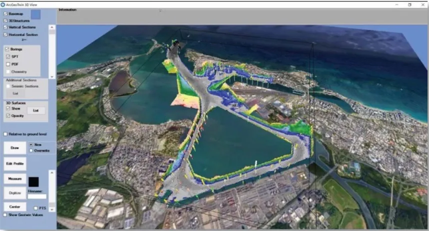
San Juan Harbor, Puerto Rico
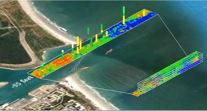
Canaveral Entrance Channel, Florida
Arc Surveying & Mapping will perform a pre-construction hydrographic survey and an Aquares geophysical survey of the project area. Survey data will be incorporated into an ArcGeoTwin 3D Interactive Digital Geological Model (IDGM). The model will provide an in-depth view of the entire subsurface geology including sediment layering and structure resistivity values (see Canaveral image). Arc’s geophysical data will be combined with ACOE contract core boring geotechnical data and design templates to assist Curtin Maritime in planning excavation options.