Arc Surveying & Mapping, Inc.
HOME
SERVICES
GEOPHYSICAL
BRIDGES
CARIBBEAN
CONSTRUCTION
PORTS
SEDIMENT
COASTAL
BEACHES
LAND
HYDROGRAPHIC
CABLE & PIPELINE
LASER SCANNING
DREDGING
TOPOGRAPHIC
SIDE SCAN & MAGNETOMETER
MAPPING & MODELING
UAS / LIDAR & PHOTOGRAMMETRY
SPECIAL PROJECTS
ABOUT US
Articles
CONTACT US
(904) 384-8377
✕
February 25, 2025
Published by
Wojciech Chylinski
on
February 25, 2025
Categories
Uncategorized
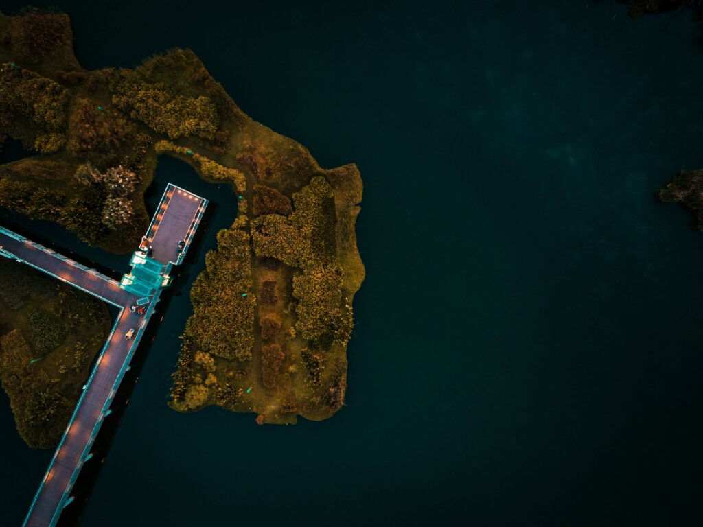
How Remote Sensing is Revolutionizing Surveying and Mapping
Surveying and mapping have evolved significantly over the years. With the rise of remote sensing, professionals can now gather accurate data faster than ever. This technology
[…]
