Surveying and mapping have evolved significantly over the years. With the rise of remote sensing, professionals can now gather accurate data faster than ever. This technology is transforming the industry by improving precision, efficiency, and accessibility.
What is Remote Sensing?
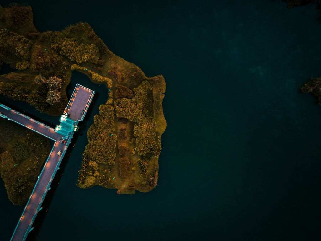
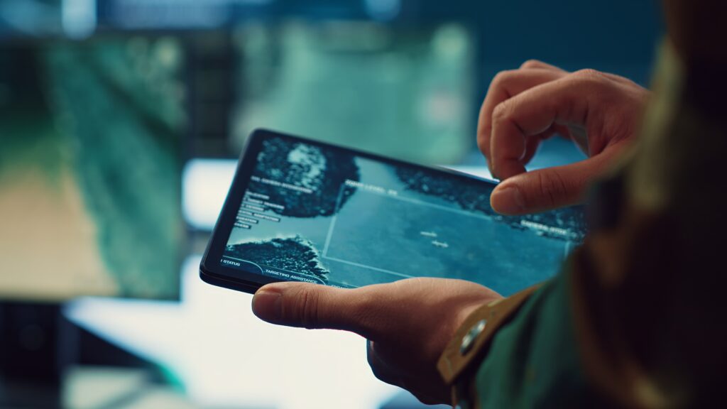
Remote sensing is the process of collecting data about an area without direct physical contact. It uses advanced tools like satellites, drones, and LiDAR to capture detailed images and measurements. This technology allows surveyors to map large or inaccessible areas with high accuracy.
How Remote Sensing is Changing Surveying and Mapping
1. Improved Accuracy and Precision
Traditional surveying methods require extensive on-ground measurements. While effective, they can be time-consuming and prone to human error. Remote sensing provides high-resolution images and 3D models that enhance precision. With tools like LiDAR and GPS, surveyors can achieve centimeter-level accuracy.
2. Faster Data Collection
Before remote sensing, surveyors spent weeks or months gathering data. Now, drones and satellites can cover vast areas in a fraction of the time. Aerial surveys provide real-time data, reducing project timelines and costs.
3. Access to Hard-to-Reach Areas
Some locations are difficult or even dangerous to survey using traditional methods. Remote sensing allows experts to map areas like mountainous terrains, dense forests, and disaster zones without physical risks. This is especially useful for urban planning and environmental monitoring.
4. Cost-Effective Solutions
Surveying large areas manually requires significant labor and resources. Remote sensing reduces these costs by minimizing fieldwork and providing automated data processing. Companies can now survey vast lands at lower expenses, making projects more budget-friendly.
5. Enhanced 3D Mapping and Modeling
Modern surveying relies on accurate 3D models for urban development, construction, and land management. Remote sensing creates detailed topographic maps and elevation models, helping engineers and planners make informed decisions.
Key Technologies in Remote Sensing
Several technologies contribute to the advancement of remote sensing in surveying and mapping:
- LiDAR (Light Detection and Ranging) – Uses laser pulses to create detailed 3D maps.
- Drones (UAVs) – Provide aerial imagery and terrain data at lower costs.
- Satellites – Capture large-scale images for environmental monitoring and land use planning.
- Multispectral and Hyperspectral Imaging – Analyze vegetation, water bodies, and soil conditions.
- GPS and GNSS – Ensure precise location tracking for mapping projects.
Industries Benefiting from Remote Sensing
Many sectors rely on remote sensing for efficient surveying and mapping. Some of the top industries include:
- Construction and Infrastructure – Helps in site planning, monitoring, and development.
- Agriculture – Tracks soil health, crop growth, and irrigation needs.
- Environmental Management – Assesses deforestation, natural disasters, and climate change.
- Urban Planning – Supports smart city development and land-use planning.
- Oil and Gas – Maps geological formations and pipeline routes.
Future of Remote Sensing in Surveying
The future of surveying and mapping will continue to evolve with AI, machine learning, and automation advancements. These innovations will improve accuracy and efficiency, making data collection more reliable and cost-effective. As technology advances, remote sensing will become an essential tool for surveyors worldwide.
Final Thoughts
Remote sensing is transforming the surveying and mapping industry. Enhanced accuracy, faster data collection, and cost-effective solutions are changing how professionals approach land measurement and analysis. As technology continues to advance, remote sensing will remain at the forefront of modern surveying.
For more insights on cutting-edge surveying technologies, contact us or call us directly.