Dredging is a critical part of many marine and waterway projects. Whether you’re deepening a channel, maintaining a port, or restoring a wetland, dredging plays a crucial role in reshaping the underwater environment. But the work doesn’t stop when the dredgers leave. That’s where post-dredge surveys come in.
These surveys ensure the job was done correctly, safely, and within the project’s guidelines. In this post, we’ll explore post-dredge surveys, why they matter, and how they help maintain project compliance and performance.
What Is a Post-Dredge Survey?
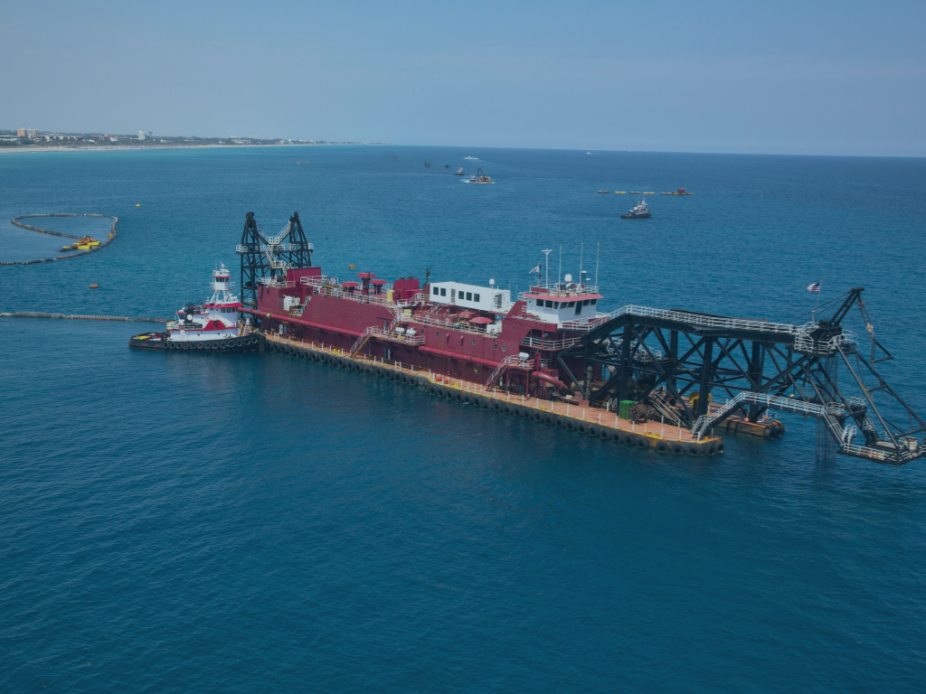
A post-dredge survey is a hydrographic survey conducted after the dredging operation is complete. Its main goal is to verify that the dredged area meets the project’s required specifications, depth, shape, and volume.
Using advanced technologies such as multibeam sonar, GPS, and echo sounding equipment, surveyors map the seafloor or riverbed to check if the work was done according to plan.
Why Post-Dredge Surveys Are Critical
1. Ensuring Project Compliance
One of the most important reasons for a post-dredge survey is to ensure that the project meets local, state, and federal regulations. Authorities require strict adherence to permits and environmental guidelines.
Post-dredge surveys confirm that:
- – The correct amount of material was removed
- – The final depth and grade align with the project design.
- – No unauthorized areas were dredged.
Without a proper survey, there’s no proof that the project complies with regulations. This could lead to legal issues, fines, or costly rework.
2. Verifying Contractor Performance
A post-dredge survey is also a performance check. Contractors are typically paid based on how much material they remove. A survey provides accurate data that helps owners and stakeholders confirm that the work matches the contract terms.
This survey also helps in identifying:
- – Areas that still require dredging
- – Over-dredged or under-dredged zones
- – Potential safety concerns or obstructions
It ensures that contractors are accountable and that the investment was worth it.
3. Protecting the Environment
If not done properly, dredging can harm the environment. A post-dredge survey helps prevent this. It can detect if sensitive zones were accidentally impacted and whether any sediment drifted to protected areas.
This feedback is especially important for projects near wetlands, coral reefs, or areas with endangered species.
4. Supporting Future Projects
Survey data doesn’t just close the current project; it helps plan the next one. Historical dredging data is valuable when evaluating maintenance needs or new dredging operations.
Post-dredge surveys help build a long-term understanding of how sediment moves and how effective your dredging strategies are.

The Post-Dredge Survey Process
At Arc Surveying & Mapping, we follow a detailed process to ensure accurate results. Here’s what it looks like:
Step 1: Project Review
Before the survey begins, we review the dredging plans, scope, and compliance requirements.
Step 2: Field Data Collection
We use cutting-edge tools such as multibeam sonar and RTK GPS systems to collect precise depth, contours, and seabed structure data.
Step 3: Data Processing and Analysis
Our team processes the raw data using advanced software to generate detailed bathymetric maps and reports.
Step 4: Reporting and Review
We provide our clients with easy-to-understand reports, digital models, and compliance documentation, which helps confirm whether the work meets every regulatory and contractual requirement.
Learn more about our hydrographic survey services at Arc Surveying & Mapping.
Technologies Used in Post-Dredge Surveys
The accuracy of a post-dredge survey depends on the tools used. Today’s surveyors rely on technologies such as:
- – Multibeam Echo Sounders – Capture detailed 3D maps of the seabed.
- – Single Beam Echo Sounders – Ideal for small areas or follow-up checks.
- – Differential GPS (DGPS) – Ensures accurate positioning.
- – LIDAR and Drone Mapping – Used in shallow water or nearshore areas.
Each technology offers benefits depending on the site, water depth, and environmental factors.
When to Conduct a Post-Dredge Survey
Timing is important. A post-dredge survey should be conducted immediately after the dredging activity ends. This helps:
- – Avoid delays in project closeout
- – Prevent sediment resettlement from altering survey results
- – Provide a clear comparison to pre-dredge surveys
Delaying the survey can lead to inaccurate data, especially if natural forces like tides or storms impact the dredged site.
Internal and External Collaboration
Effective post-dredge surveys rely on teamwork. Coordination between project owners, engineers, dredging contractors, and surveyors ensures that every phase aligns.
In many cases, project owners also work with environmental consultants to review compliance documentation. For more on environmental impact and dredging compliance, check out this NOAA overview of dredging and the environment.
Why Choose Arc Surveying & Mapping
At Arc Surveying & Mapping, we bring more than 30 years of experience in hydrographic surveys. Our expert team delivers fast, accurate, and cost-effective results. We’re based in Florida and serve clients across the U.S., the Caribbean, and beyond.
With a focus on innovation and regulatory expertise, we help you stay on track, on budget, and in compliance.
Final Thoughts
Post-dredge surveys are not just a formality—they protect your investment, the environment, and your project’s reputation. They confirm that the job is done right, the area is safe, and all regulations have been met.
Don’t overlook this vital step if you’re planning or finishing a dredging project. Reach out to our team at Arc Surveying & Mapping to schedule a professional post-dredge survey today.
Ensure your project meets every expectation, above and below the surface.