
In the evolving landscape of land surveying, the integration of Artificial Intelligence (AI) with drone technology stands out as a transformative advancement. At Arc Surveying & Mapping, Inc., we harness the power of AI-driven drones to deliver precise, efficient, and cost-effective surveying solutions across the United States and the Caribbean.
Understanding AI-Powered Drones in Land Surveying
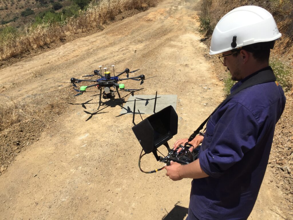
AI-powered drones, or unmanned aerial vehicles (UAVs), are equipped with advanced sensors and AI algorithms that enable autonomous flight and data collection. These drones can capture high-resolution images, generate 3D models, and process data in real-time, significantly enhancing the accuracy and speed of land surveys.
Benefits of AI Drones in Land Surveying
1. Unmatched Accuracy and Precision
Traditional surveying methods can be time-consuming and prone to human error. AI drones mitigate these issues by capturing detailed aerial data with centimeter-level accuracy. This precision is crucial for projects requiring exact measurements, such as boundary delineations and topographic mapping.
2. Enhanced Efficiency and Time Savings
AI drones can survey large areas in a fraction of the time it takes for ground crews. By automating data collection and processing, they reduce the need for manual labor and expedite project timelines, allowing for quicker decision-making and project execution.
3. Cost-Effective Solutions
By reducing labor costs and minimizing the time required for surveys, AI drones offer a more economical alternative to traditional methods. The efficiency gains translate into significant cost savings for clients without compromising on data quality.
4. Access to Challenging Terrains
AI drones can easily access and survey areas that are difficult or dangerous for human surveyors, such as rugged terrains, dense vegetation, or hazardous environments. This capability ensures comprehensive data collection while prioritizing safety.

Applications of AI Drones in Arc Surveying & Mapping Services
At Arc Surveying & Mapping, Inc., we integrate AI drone technology across various services to enhance data accuracy and project efficiency.
Land Surveys
Our AI drones capture high-resolution imagery and generate detailed topographic maps, facilitating accurate land assessments for development, construction, and environmental planning.
3D Mapping and Modeling
Utilizing AI drones, we create precise 3D models of terrains and structures, aiding in visualization, analysis, and planning for various projects.
Construction Surveys
AI drones enable us to monitor construction progress, detect deviations from plans, and ensure quality control, thereby reducing errors and rework.
Coastal and Hydrographic Surveys
In coastal and marine environments, AI drones assist in mapping shorelines, monitoring erosion, and conducting hydrographic surveys, providing critical data for environmental management and infrastructure development.
Remote Sensing
Our drones equipped with AI capabilities collect and analyze data for environmental monitoring, resource management, and land-use planning, supporting informed decision-making.
Why Choose Arc Surveying & Mapping, Inc.?
With over 35 years of experience, Arc Surveying & Mapping, Inc. is a trusted provider of professional surveying and mapping services. Our team of certified professionals leverages cutting-edge technology, including AI-powered drones, to deliver accurate, reliable, and cost-effective solutions tailored to each client’s needs.
We are committed to excellence, innovation, and client satisfaction, ensuring that every project is completed with the highest standards of quality and efficiency.
Conclusion
The integration of AI drones into land surveying and mapping has revolutionized the industry, offering unparalleled accuracy, efficiency, and safety. At Arc Surveying & Mapping, Inc., we utilize this technology to deliver exceptional services that cater to the evolving needs of our clients.
For more information on how our AI drone surveying services can benefit your project, visit our Surveying Services page.
Explore our comprehensive Surveying Services to learn more about how we can assist with your specific project needs.
Discover how AI-powered drones are transforming land surveys in 2025 in this insightful article: AI-Powered Drones Revolutionize US Land Surveys In 2025.