October 14, 2025
Published by Wojciech Chylinski on October 14, 2025
Categories
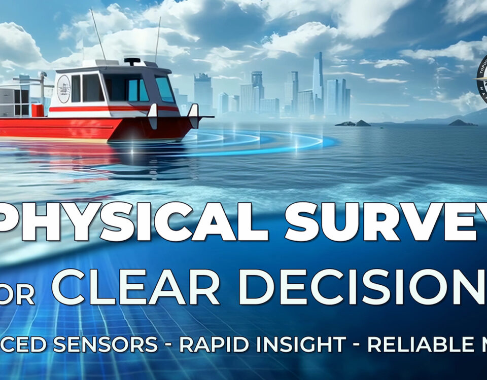
ARC Surveying and Mapping transforms complex waterways into measurable actionable insight. By pairing an integrated sensor suite with disciplined processing the firm delivers centimetre level bathymetry […]
October 14, 2025
Published by Wojciech Chylinski on October 14, 2025
Categories
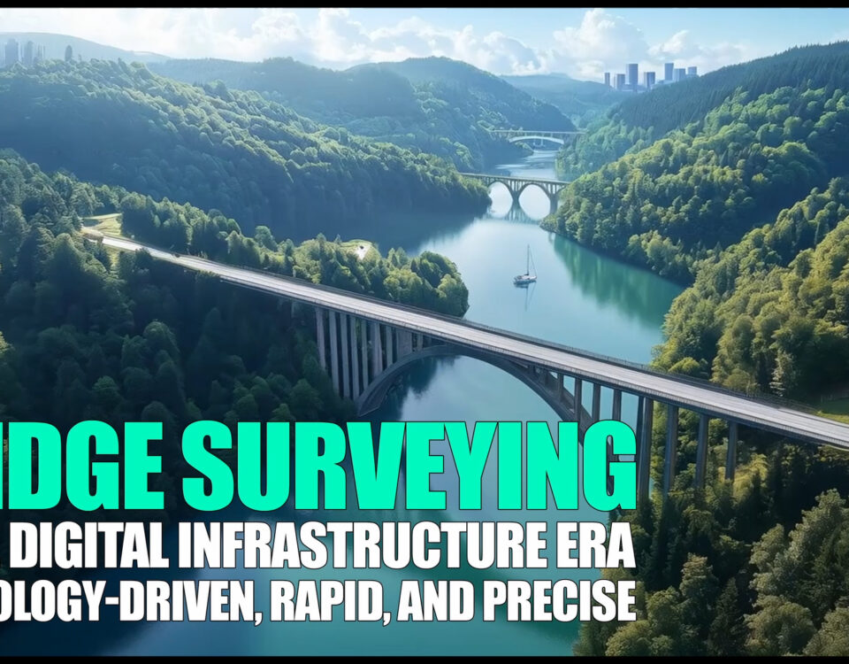
The New Standard for Bridge Intelligence Transportation agencies now expect survey data that moves as fast as today’s mobility demands. Every inspection cycle calls for centimeter-grade […]
October 14, 2025
Published by Wojciech Chylinski on October 14, 2025
Categories
Owners, contractors, and agencies thrive on clear facts delivered fast. Special Projects bring together complex sites, moving schedules, and high public visibility, so survey intelligence must […]
October 14, 2025
Published by Wojciech Chylinski on October 14, 2025
Categories
Why geophysical intelligence? Projects near waterways depend on a precise understanding of what lies above and below the bottom. Geophysical surveying turns hidden layers into decision-ready […]
October 14, 2025
Published by Wojciech Chylinski on October 14, 2025
Categories
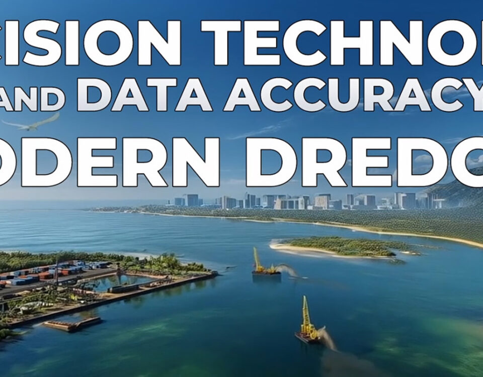
Hydrography as a performance discipline Modern hydrography turns dynamic waterways into precise, decision‑ready models. Multibeam swath sonar, dual‑frequency sounding, RTK/GPS control, and aerial or motion‑compensated laser […]
October 14, 2025
Published by Wojciech Chylinski on October 14, 2025
Categories
Expert perspective for environmental planners, port and harbor owners, and marine contractors Sediment intelligence directs better outcomes Marine projects succeed when every stakeholder sees the same […]
October 14, 2025
Published by Wojciech Chylinski on October 14, 2025
Categories
Owners, EPC teams, and marine contractors progress fastest when every meter of corridor is mapped, every crossing is known, and every burial depth is documented. Cable […]
October 14, 2025
Published by Wojciech Chylinski on October 14, 2025
Categories
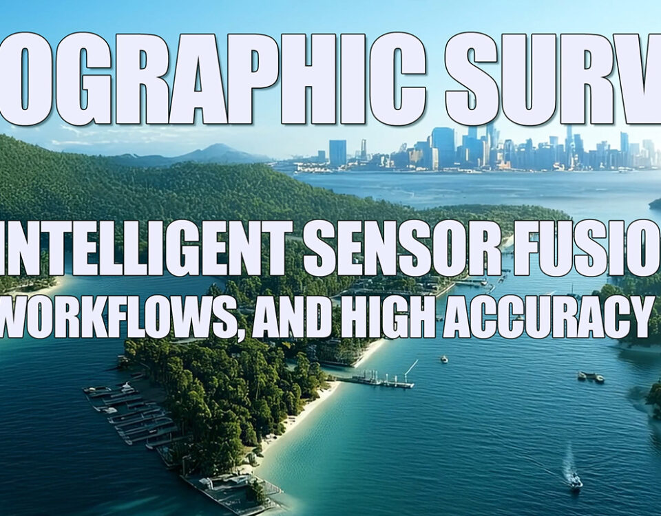
Topographic surveying turns complex ground conditions into clear models that engineers and builders can use immediately. When RTK GPS control, robotic total stations, UAV LiDAR, photogrammetry, […]

