Arc Surveying & Mapping, Inc.
HOME
SERVICES
GEOPHYSICAL
BRIDGES
CARIBBEAN
CONSTRUCTION
PORTS
SEDIMENT
COASTAL
BEACHES
LAND
HYDROGRAPHIC
CABLE & PIPELINE
LASER SCANNING
DREDGING
TOPOGRAPHIC
SIDE SCAN & MAGNETOMETER
MAPPING & MODELING
UAS / LIDAR & PHOTOGRAMMETRY
SPECIAL PROJECTS
ABOUT US
Articles
CONTACT US
(904) 384-8377
✕
April 10, 2025
Published by
Wojciech Chylinski
on
April 10, 2025
Categories
Uncategorized
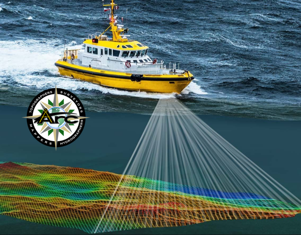
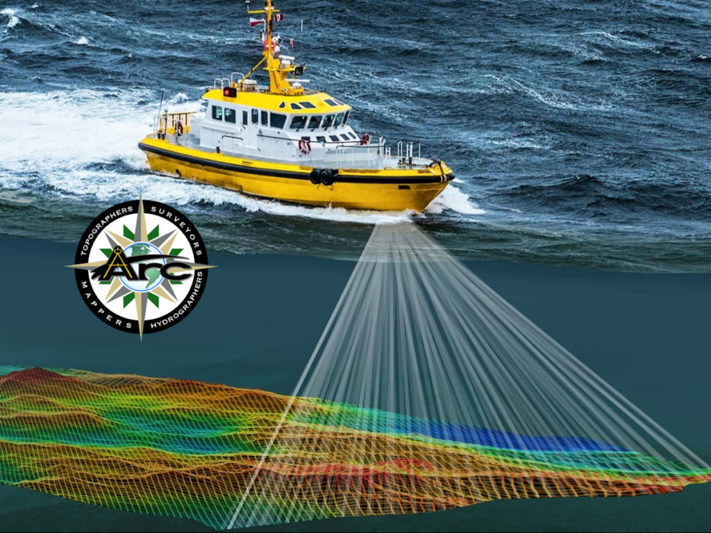
The Role of Bathymetric Surveys in Port and Harbor Maintenance
Ports and harbors play a crucial role in global trade and transportation. To keep these waterways functional and safe, regular maintenance is essential. One of the
[…]