Construction projects often involve digging, drilling, and excavation. Hitting underground utilities can cause delays, safety risks, and expensive repairs without proper planning. This is where Subsurface Utility Mapping (SUM) plays a crucial role.
In this blog, we’ll explore the importance of SUM, its benefits, and how it helps construction teams avoid costly mistakes.
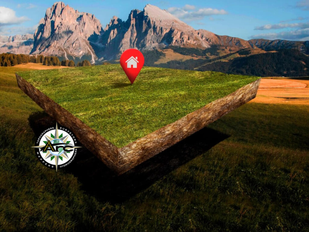
What is Subsurface Utility Mapping?
Subsurface Utility Mapping is the process of identifying and mapping underground utilities before construction begins. It involves advanced detection technologies like Ground Penetrating Radar (GPR), electromagnetic locators, and GIS mapping to locate pipes, cables, and other buried infrastructure.
Accurate utility mapping ensures that construction crews know what lies beneath the surface, reducing the risk of damaging essential services.
Why is Subsurface Utility Mapping Important?
Many underground utilities, such as gas lines, water pipes, and electrical cables, are not always accurately documented. Excavating without reliable utility data can lead to:
- Project Delays – Unexpected utility strikes cause work stoppages and require emergency repairs.
- Increased Costs – Repairing damaged utilities adds unplanned expenses to a project.
- Safety Hazards – Cutting into a gas or electrical line can result in severe injuries or even fatalities.
- Legal Issues – Contractors may face lawsuits and fines for damaging public or private utility lines.
By investing in accurate Subsurface Utility Mapping, construction teams can avoid these risks and work more efficiently.
Key Technologies Used in Subsurface Utility Mapping
To create an accurate underground map, professionals use various technologies:
1. Ground Penetrating Radar (GPR)
GPR sends radio waves into the ground and detects reflections from buried objects. It provides high-resolution images of subsurface utilities without excavation.
2. Electromagnetic Induction (EMI) Locators
EMI locators detect electrical signals from buried cables and metal pipes. They help identify utility positions with precision.
3. Global Positioning System (GPS) and GIS Mapping
GPS and Geographic Information Systems (GIS) allow surveyors to create digital maps of underground utilities. These maps provide real-time data for construction planning.
4. Vacuum Excavation
When pinpoint accuracy is needed, vacuum excavation safely exposes utilities without damaging them. This non-destructive method ensures the most reliable utility location data.
How to Avoid Costly Mistakes with Subsurface Utility Mapping
1. Conduct Utility Surveys Early
Utility mapping should be part of the early planning stages of a project. Identifying underground utilities before breaking ground prevents disruptions later.
2. Use Multiple Detection Methods
Relying on a single detection technology can lead to incomplete data. Combining GPR, EMI, and GIS mapping ensures a comprehensive view of the underground landscape.
3. Verify Data with Utility Providers
Cross-checking mapping data with utility companies adds another layer of accuracy. Utility records help confirm the findings from scanning technologies.
4. Train Construction Crews on Utility Risks
Educating workers on the importance of SUM can reduce human errors. When teams understand the risks, they take extra precautions during excavation.
5. Work with Certified Utility Mapping Experts
Hiring professionals with experience in Subsurface Utility Mapping ensures the highest level of accuracy. Experts use the latest technology and best practices to provide detailed utility maps.
The Benefits of Subsurface Utility Mapping
Reduces Risk and Liability
Accurate mapping minimizes the chances of utility strikes, lowering liability for construction companies.
Improves Project Efficiency
With precise utility maps, teams can plan better, reducing delays and improving workflow.
Enhances Safety on Site
By knowing where underground utilities are located, workers can avoid dangerous mistakes that could lead to accidents.
Saves Money
Avoiding costly utility damage and delays keeps projects within budget and prevents unexpected expenses.
Real-World Applications of Subsurface Utility Mapping
Urban Construction
Cities have complex underground networks of water, sewage, and electrical lines. SUM ensures safe excavation in busy urban areas.
Infrastructure Development
Highways, bridges, and railway projects rely on SUM to avoid damaging underground systems.
Oil & Gas Industry
Mapping underground pipelines prevents leaks and ensures safe drilling operations.
For more insights on best practices in utility mapping, visit American Public Works Association (APWA).
Final Thoughts
Subsurface Utility Mapping is a critical step in modern construction. It helps prevent costly mistakes, improves efficiency, and ensures safety. By using advanced technologies and working with experts, construction teams can confidently build without unexpected underground surprises. For professional utility mapping services, visit Arc Surveying & Mapping Inc..