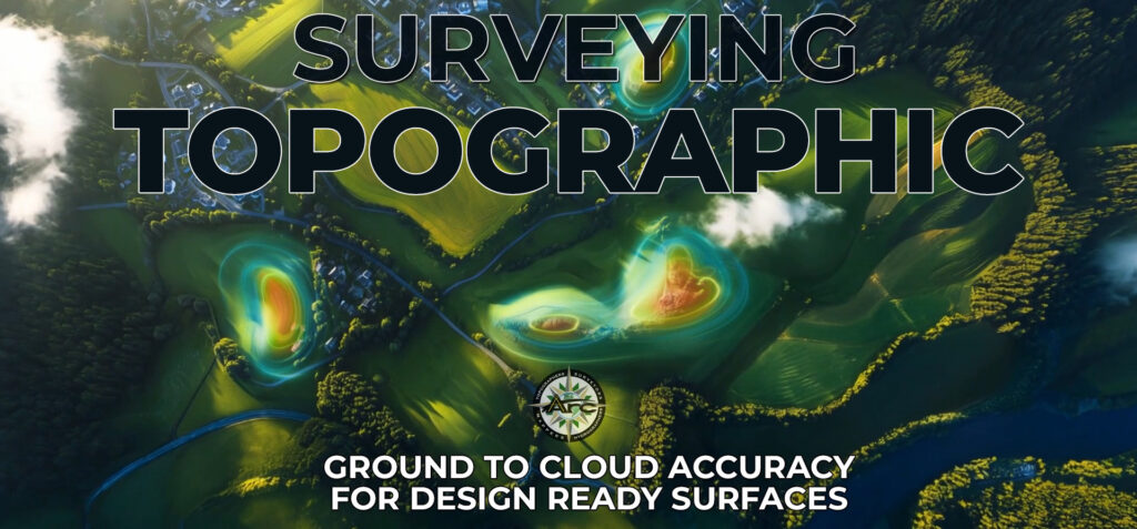
Topographic surveying turns complex ground conditions into clear models that engineers and builders can use immediately. When RTK GPS control, robotic total stations, UAV LiDAR, photogrammetry, and static laser scanning are coordinated as a single workflow, the result is fast, high‑density capture and CAD surfaces that support confident grading, drainage, and earthwork planning. ARC Surveying and Mapping structures topographic programs around that principle so maps, contours, and 3D surfaces arrive ready for design.
Technology that produces decision‑ready data
RTK GPS and robotic total stations. Centimeter‑level control anchors every dataset. Crews recover monumentation, establish project control, and tie field observations to the appropriate datums so all deliverables align in plan and elevation. This foundation enables precise breaklines, spot elevations, and contours that slot directly into design templates.
UAV LiDAR and photogrammetry. Drone‑mounted sensors collect dense point clouds across large areas while simultaneously capturing imagery for orthophotos and QA checks. When LiDAR and photos are processed together, ground elevations and features resolve cleanly even across large footprints, producing rich context for drainage design and mass grading.
Static laser scanning for structures and corridors. Tripod scanners complement aerial and conventional work with millimeter‑scale geometry on buildings, walls, and utility corridors. Combined with RTK control, these scans deliver crisp tie‑ins between vertical features and ground surfaces, enhancing accuracy at interfaces that influence constructability.
CAD and GIS integration. Surfaces and feature codes are delivered in formats that design teams already use. LAS for point clouds, XML for surfaces, orthophoto imagery, and current Civil 3D models streamline adoption by engineers and contractors, reducing conversion steps and accelerating model use.
A field‑to‑deliverable method that keeps projects moving
Topographic programs gain momentum when acquisition, processing, and handoff operate as a single system.
- Control first. Crews recover and verify published control, then establish permanent bases or project benchmarks to guide all subsequent work. That approach keeps aerial, terrestrial, and hydrographic elements in one coordinate frame for clean surface merges.
- Right sensor, right task. UAV LiDAR collects the wide area, robotic total stations and RTK GPS densify critical features, and static laser scanning resolves high‑detail zones. The mix is chosen for speed, safety, and the surface fidelity required by designers.
- Immediate processing cadence. Daily or section‑based processing produces interim contours, cross‑sections, and cut‑fill summaries so stakeholders can validate progress and plan next steps while crews remain productive.
- Design‑ready outputs. Deliverables arrive as contours, breaklines, surfaces, and orthophotos in CAD and GIS formats that align with plan sets and submittals. This reduces loops between office and field and supports continuous decision making.
Where integrated topography excels
Airfields and transportation hubs. Dense aerial capture tied to RTK control documents pavement, markings, and safety areas. Static scanning refines edges, islands, and structures so runway and apron models support planning and conformance checks.
Coastal corridors and beach programs. Topography connects shoreline wading surveys with hydrographic lines for continuous templates that guide nourishment and sand bypass programs. Cross‑sections extend from the Mean High Water Line offshore to specified elevations, enabling precise quantities and acceptance checks.
Large‑site development. UAV LiDAR and photogrammetry establish high‑density surfaces across thousands of acres. RTK and robotic instruments capture drainage structures, utilities, and critical breaklines, creating a balanced dataset for grading, stormwater, and roadway design.
Quality controls that matter to designers
- Control recovery and verification using Trimble‑class RTK receivers and conventional ties establishes a reliable baseline for every observation.
- Targeted ground control for aerial missions supports QC of LiDAR and photo deliverables, giving design teams confidence in verticals and surface smoothness.
- Overlap between topo and hydro ensures continuous sections across the surf zone and validates template coverage for coastal projects.
- Standardized formats such as LAS, XML, orthophotos, and Civil 3D surfaces feed directly into engineering workflows.
What owners and engineers gain
- Design clarity through dense, well‑controlled surfaces that reflect current field conditions.
- Schedule momentum via daily processing and handoff of interim drawings and quantities.
- Seamless collaboration because every discipline works from the same coordinate frame and surface definitions.
Project snapshots
Henry E. Rohlsen Airport, St. Croix USVI. A high‑precision photogrammetric and topographic survey used published NGS control verified by Trimble R12 RTK GPS. A DJI M300 with R2A LiDAR and a 26‑MP camera collected ground elevations and imagery, supported by six ground control points for QC. The work supports airport planning and runway marking conformance to FAA standards.
Cape Canaveral Sand Bypass, Brevard County FL. Full‑time hydrographic and topographic crews supported sand trap dredging and beach renourishment along 14 miles. Baselines and cross‑sections ran from the Mean High Water Line seaward 600 feet to elevation minus 12 feet, with singlebeam lines at 50‑foot intervals and daily clearance and acceptance surveys. Processed results were provided to field teams within about an hour.
Orange Beach, Gulf State Park, Gulf Shores AL. Mobilization occurred within 24 hours. Crews established permanent base stations along 14 miles, completed singlebeam pre and post surveys at 100‑foot spacing, scanned offshore borrow sites, and switched between hydro and topo each day. Processed data reached project managers and engineers within about an hour.
The takeaway
Topographic surveying achieves exceptional value when ground control, sensors, and deliverables are designed as one system. RTK GPS and robotic total stations establish dependable coordinates. UAV LiDAR, photogrammetry, and static laser scanning deliver high‑density capture. CAD and GIS outputs arrive aligned to design workflows. The projects above show how this method supports airfields, coastal corridors, and large‑site programs with accuracy, speed, and design‑ready clarity.