
Every construction project, whether it’s a cozy home addition or a sprawling commercial development, starts with a vision. But before you break ground, there’s an unseen foundation that can make or break your project: a topographic survey. This critical step maps out the land’s features, revealing essential details that guide architects, engineers, and builders toward success. Without it, you risk building on uncertain ground. In this post, we’ll explore what a topographic survey is, why it’s essential for any construction project, and how it can help you avoid costly mistakes.
What Is a Topographic Survey?
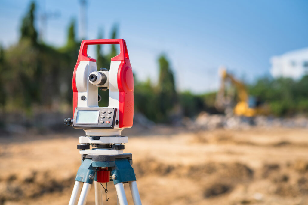
A topographic survey, often called a topo survey, is a detailed mapping of a site’s physical features. It captures the land’s contours, elevations, and natural or manmade elements. Think trees, slopes, streams, buildings, or utility lines, all documented with precision. Surveyors use advanced tools like GPS, laser scanners, and drones to create a 3D model of the terrain. This model becomes the blueprint for site planning, ensuring every decision is grounded in accurate data.
Why does this matter? Construction projects depend on a deep understanding of the land. A topographic survey provides a clear picture of what you’re working with, from elevation changes to potential obstacles. Without this data, you’re guessing, and guessing in construction is a costly risk.
The Role of a Topographic Survey in Construction
You might wonder why a topographic survey is so critical. Can’t you just eyeball the site and start building? Not quite. The land holds hidden details that aren’t visible at a glance. A topographic survey reveals those details and supports thoughtful planning. Here’s how it plays a key role:
1. Accurate Site Planning
A topographic survey ensures your plans reflect the actual site conditions. It shows elevation changes that impact where buildings, roads, or utilities can be placed. For example, a steep slope may require grading, while low areas may indicate flood risks. With this insight, architects and engineers can design structures that work with the land instead of against it.
2. Avoiding Costly Mistakes
Construction errors are expensive. Imagine pouring a foundation only to discover an underground utility line or learning too late that the building’s elevation causes flooding. A topographic survey identifies such issues early. It highlights drainage patterns, soil conditions, and hidden infrastructure that could otherwise derail your budget.
3. Ensuring Regulatory Compliance
Every construction project must comply with local zoning laws and environmental rules. A topographic survey provides the data needed to meet those requirements. It can reveal whether your site is in a floodplain or near protected wetlands. At ARC Surveyors, we ensure every topo survey aligns with local regulations, helping you stay compliant and avoid delays.
4. Supporting Efficient Design
Design efficiency begins with accurate data. The 3D models from topographic surveys allow architects and engineers to make informed decisions. For instance, positioning a building on flatter land can reduce excavation costs, while designing roads to follow natural contours minimizes grading work.
5. Enhancing Safety
A well-conducted survey helps spot hazards like unstable slopes or underground water sources. Identifying and addressing these risks protects your crew during construction and ensures long-term safety for occupants.
Why Every Construction Project Needs a Topographic Survey
Whether your project is large or small, a topographic survey provides foundational insight. Here’s how it benefits different project types:
Small Residential Projects
Even minor additions like a deck or garage benefit from a topo survey. It helps with drainage, utility mapping, and foundation stability, giving homeowners peace of mind and confidence in their investment.
Large Commercial Developments
For office buildings, shopping centers, or mixed-use spaces, topographic surveys help coordinate complex site plans. These surveys also support regulatory approval and streamline the design process, reducing risks of redesign or delay.
Infrastructure Projects
Roads, bridges, and utilities depend heavily on accurate topography. A survey can reveal the best path for a road or help avoid unstable terrain, ensuring the project is safe and durable.
How a Topographic Survey Prevents Costly Mistakes
Here are a few specific issues a topographic survey can help you avoid:
1. Misjudging Elevation
Slight elevation changes can lead to big problems. Without grading, an uneven site could result in cracked foundations or improper drainage.
2. Overlooking Utilities
Underground utilities are easy to miss and dangerous to disturb. A survey helps locate them before digging begins.
3. Ignoring Drainage Issues
If water doesn’t drain properly, erosion and flooding can damage your build. A survey shows how water moves across your site so you can design accordingly.
4. Violating Regulations
Missing a zoning requirement or environmental rule can shut your project down. A topographic survey helps ensure full compliance from the start.
5. Underestimating Site Preparation
Clearing trees, leveling ground, or removing debris can be more complex than it looks. A topo survey prepares you for what’s ahead, helping you budget more accurately.
The Topographic Survey Process: What to Expect
Here’s how the process typically works:
- Site Visit: A professional surveyor assesses the site using GPS, drones, or total stations.
- Data Collection: Features like elevation, vegetation, structures, and utilities are mapped.
- Mapping: Data is transformed into a detailed 2D or 3D model of the site.
- Analysis & Delivery: The final survey is delivered along with insights that guide your planning and design.
At ARC Surveyors, we tailor every survey to your project’s scope and goals, delivering precision and clarity you can trust.
The Cost of Skipping a Topographic Survey
Skipping a topo survey may seem like a way to save time or money, but the risks are far greater:
- Redesigns: Discovering a major issue mid-project often forces you to redesign, delaying completion and driving up costs.
- Delays: Unexpected soil issues or hidden utilities can halt work for weeks.
- Legal Trouble: Building without regulatory compliance can lead to fines, lawsuits, or stop orders.
- Structural Issues: Poor planning can lead to future problems like flooding, cracking, or settling.
A topographic survey is a small upfront investment that protects your project and your peace of mind.
Choosing the Right Surveyor for Your Project
The quality of your topographic survey depends on the skill of your surveyor. Look for:
- Relevant Experience: Choose a team that has worked on similar project types.
- Advanced Tools: Accuracy depends on technology. Make sure they use modern equipment.
- Local Knowledge: Understanding local codes and terrain speeds up the process.
- Good Communication: A professional who can explain the findings helps you make more informed decisions.
You can explore the National Society of Professional Surveyors guide for more tips on choosing the right expert.
How Topographic Surveys Support Sustainable Construction
Sustainable design starts with understanding the land. A topographic survey contributes to environmentally conscious building by:
- Preserving Natural Features: By mapping vegetation and waterways, you can avoid unnecessary disruption.
- Improving Drainage: Proper planning reduces erosion and protects nearby ecosystems.
- Reducing Energy Use: Buildings aligned with natural contours often perform better in terms of heating and cooling.
Topographic surveys help you build responsibly while meeting your sustainability goals.
The Foundation of Success
A topographic survey is not just a technical requirement. It’s the unseen foundation that supports every successful construction project. From identifying site constraints to preventing costly surprises, it equips you with the insights needed to plan with confidence and build without setbacks. Whether you’re adding a room to your home or developing a large commercial site, this survey is a vital first step.
Ready to get started?
Contact ARC Surveyors today to schedule your topographic survey and set your project on the path to success.