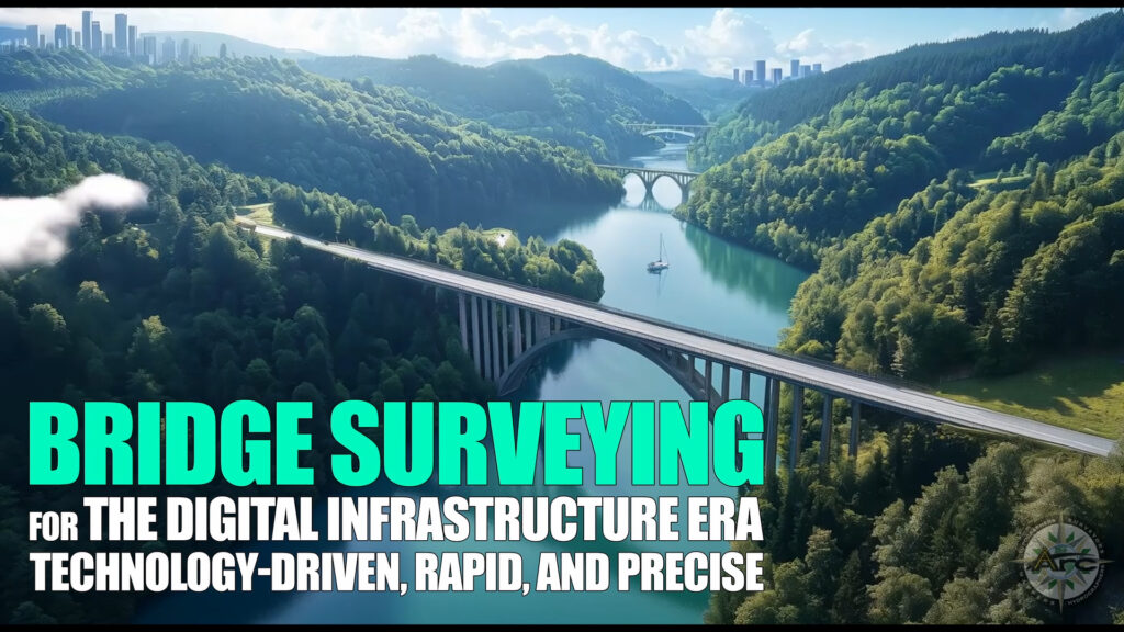
The New Standard for Bridge Intelligence
Transportation agencies now expect survey data that moves as fast as today’s mobility demands. Every inspection cycle calls for centimeter-grade accuracy delivered in hours, not weeks. ARC Surveying and Mapping answers this requirement through a multi-modal sensor ecosystem that merges riverbed sonar, terrestrial and aerial lidar, high-definition laser scans, and engineering-grade CAD workflows. The result is field-validated intelligence that keeps design, maintenance, and emergency teams perfectly aligned.
Multi-Modal Technology Suite in Action
The Bridges Section – Technology highlights the core components of ARC’s platform.
- Multibeam sonar and side-scan sonar chart full bathymetry and visualize scour patterns or submerged debris.
- BlueView 3D scanners provide near-photographic point clouds of bridge footings and piers in low visibility water.
- Magnetometers pinpoint buried metal, reinforcing steel, or abandoned cables.
- UAV LiDAR and terrestrial laser scanning capture decks, girders, and approach geometry to millimeter precision.
- GIS, AutoCAD, and MicroStation integrate every dataset into high-detail maps, isopach surfaces, and 3D models that slot directly into BIM and digital-twin environments.
Each sensor contributes a distinct layer; when fused, they create a single source of spatial truth that supports safer traffic flow and streamlined construction schedules.
Data Velocity – From Field to Model in a Day
ARC Surveying and Mapping optimizes every workflow stage: rapid mobilization, parallel data capture above and below water, onboard processing for real-time QA, and cloud transfer to design teams. Color-coded isopachs, scour differentials, and deformation heatmaps arrive within 24 hours, turning data into confident action while crews and equipment remain on site.
Four Florida Projects Proving the Model
San Pablo Atlantic Blvd Bridge, Jacksonville – Scour Monitoring. Hurricane-driven tides can accelerate sediment movement around piles. A synchronized multibeam and mobile laser scan delivered a full 3D baseline, then follow-up surveys produced color-graded isopachs that highlighted change zones within one day of each storm event. Engineers compared current contours to the baseline and confirmed structural safety before reopening lanes.
Sisters Creek Bridge, Duval County – Replacement Preparation. Legacy drawings rarely reflect present-day creek bottoms. High-resolution terrestrial laser scanning mapped the superstructure while multibeam sonar, side-scan, and magnetometer sweeps identified sunken vessels, cutoff piles, and utility crossings. The georeferenced dataset guided demolition and new-span construction, preventing schedule extensions and additional claims.
Flagler Memorial Bridge, Fort Lauderdale – Deformation Tracking. Monthly terrestrial laser scans and underwater sonar observed micropiles and piers across temperature shifts. Micrometer-level change analysis detected early settling, enabling timely micropile adjustment and sustained alignment over the full project lifecycle.
Mathews Bridge, Jacksonville – Emergency Response. A vessel collision demanded immediate closure. Three ARC crews executed hydrographic surveys, laser scans, and deformation control surveys within hours. Accurate geometry allowed fabricators to model replacement plates, and navigation surveys confirmed safe river clearance. The bridge reopened in roughly one month, earning DOT commendations for survey excellence and rapid coordination.
Speed, Accuracy, and Collaboration Benefits
- Accelerated decision making – Near-real-time deliverables empower engineers to validate scour protection, deformation limits, and navigation clearance while contractors remain in the field.
- Millimeter accuracy – Cross-checked control networks align sonar and lidar clouds, allowing confident clash checks and load path assessments.
- Seamless data adoption – Native AutoCAD and MicroStation exports integrate instantly with roadway and structural models, reducing re-draft cycles.
- Enhanced safety – Remote sensors (UAV, tripod lidar, vessel-mounted sonar) minimize diver exposure and over-water lane closures.
- Investment protection – Up-front clarity guides equipment selection, material quantities, and sequencing, promoting cost efficiency throughout construction and maintenance.
Building Digital Twins for Bridges
As agencies migrate toward full lifecycle asset management, survey-grade digital twins become indispensable. ARC Surveying and Mapping now links multibeam bathymetry and lidar meshes to structural analysis software, permitting ongoing condition simulations. Predictive analytics flag scour progression, thermal expansion, and material fatigue earlier than traditional inspection intervals. These proactive insights translate into longer service life and optimized capital planning.
Future Technology Horizon
The next wave includes hyperspectral imaging to identify concrete chemistry changes, machine-learning-driven anomaly detection inside point clouds, and 5G-enabled sensor pods streaming continuous deformation data. ARC’s technology roadmap aligns with these advances to maintain leadership in rapid, precise bridge intelligence.
Why Technology, Speed, and Accuracy Matter Most
- Every minute of lane closure impacts regional productivity.
- Precise models accelerate prefabrication, limiting on-site interference.
- Unified datasets create mutual trust among designers, contractors, and owners, reducing change orders and test uncertainty.
- Continuous monitoring supports data-driven asset management and budget prioritization.
By combining best-in-class sensors, disciplined workflows, and collaborative deliverables, ARC Surveying and Mapping sets a benchmark for modern bridge surveying where technology, speed, and accuracy work in harmony.