LOOPLAND PHASE 1 & 2
...
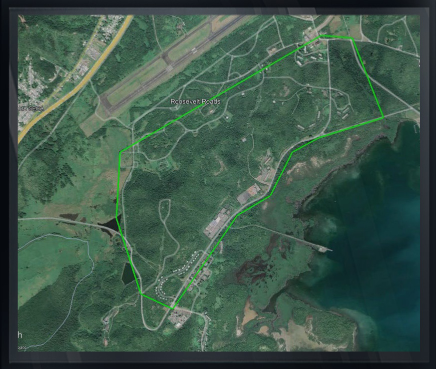
SOUTH OF JOSE APONTE DE LA TORRE AIRPORT, PUERTO RICO
Arc Surveying & Mapping, Inc. and Jack W. Berry & Associates, Inc., were contracted to capture airborne LiDAR and digital imagery of approximately 2, 800 acres at the project site.
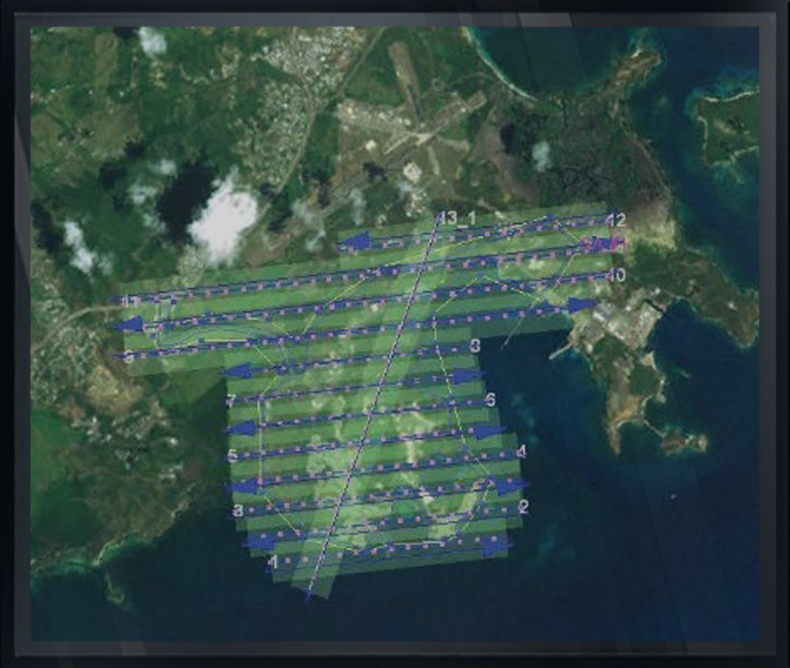
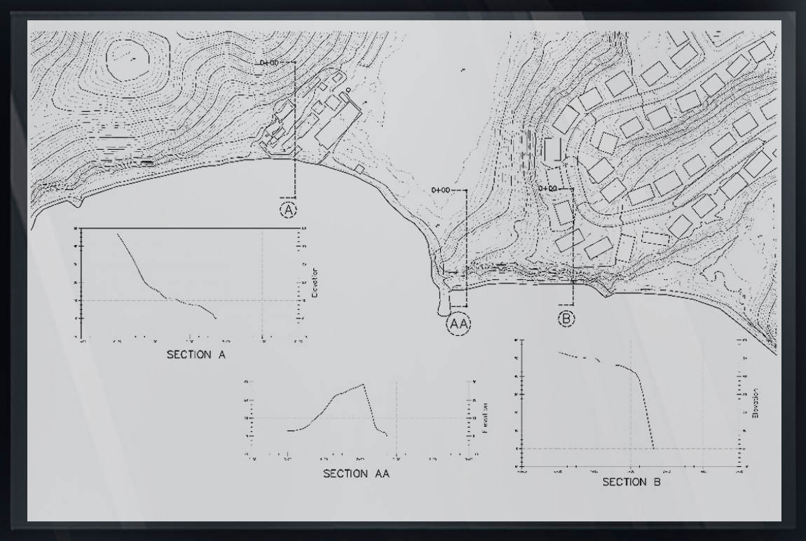
Airborne LiDAR was collected at a scan rate of not less than 25 points per square meter for the production of one-foot contour mapping.
Digital imagery was also acquired at an altitude suitable for the production of three-inch pixel resolution orthoimagery.
Utilizing the imagery, planimetric mapping was produced at a scale of 1”=50’ which included all features visible from the imagery including buildings, streams, ponds, fences, trails, power poles, etc.