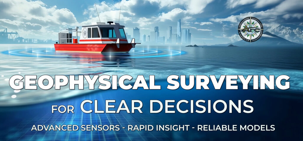
Why geophysical intelligence?
Projects near waterways depend on a precise understanding of what lies above and below the bottom. Geophysical surveying turns hidden layers into decision-ready information, helping teams plan dredging, remediation, and construction with confidence. ARC Surveying and Mapping applies specialized instruments that detect sediment types, buried objects, and geological boundaries, producing an integrated picture of site conditions for every stakeholder.
The Geophysical Surveys overview emphasizes visible certainty. By revealing subsurface structures, the approach supports planning based on facts rather than assumptions and creates a stronger foundation for strategic choices. The same framework also helps reduce last‑minute changes by clarifying conditions before mobilization.
Integrated tools that work in sync
Geophysical investigations gain their power from a coordinated toolkit. ARC Surveying and Mapping operates instruments in concert and correlates outputs into unified models, which strengthens data reliability and streamlines workflows for both marine and upland sites.
Side‑scan sonar – Delivers a wide‑angle perspective of the seafloor, mapping debris fields or submerged damage with high‑definition clarity. It is especially useful for environmental assessments and search‑and‑recovery tasks, efficiently scanning extensive areas and highlighting anomalies that merit targeted follow‑up.
Magnetometer – Tracks subtle magnetic anomalies associated with buried pipelines, ferrous debris, or munitions. Pinpointed readings support proactive mitigation strategies and help project teams plan excavation and construction activities with precision.
Sub‑bottom profiler – Penetrates sediment layers to differentiate substrates and detect rock, cables, or older foundations. Early identification of buried features supports reliable schedules and more predictable budgeting during dredging, pile installation, and marine construction.
Electrical resistivity – Adds a geologic lens that distinguishes material types and interfaces across channels and harbors. When combined with hydrographic data, resistivity strengthens interpretations of sediment thickness, harder layers, or potential obstructions, improving planning windows for dredging and remediation.
Vibracore tube sampler – Extracts high‑fidelity sediment cores with minimal disturbance for precise lab analysis. VibeCore options operate in depths up to about 200 feet and can yield cores up to 28 feet long, giving engineers the specimen integrity needed for environmental and structural decisions.
Bottom grab sampler – Provides rapid surface‑sediment checks when coring is unnecessary. Screens atop each scoop allow water flow while capturing key bottom features, supporting efficient field classification and invertebrate recovery where required.
Probing rods and physical models – Simple, practical tools confirm sophisticated sensor results by validating stiff clay or rock in the field. This on‑site verification complements advanced geophysical measures, adding redundancy to the interpretation process.
From layered data to shareable models
The value of geophysics grows when datasets are fused. ARC Surveying and Mapping unifies resistivity, magnetometer, sub‑bottom, and sonar layers to produce volumes, material classifications, and risk alerts. Teams understand subsurface conditions before equipment arrives, which supports better sequencing, right‑sized tooling, and fewer change orders.
These layers can be published as 3D geological models for collaborative review. The ArcGeoTwin environment presented in the geophysical projects materials brings bathymetry, images, and geophysical interpretations into shared viewers, enabling engineers, owners, and contractors to explore the site together and align quickly on next steps.
Where geophysical surveying delivers the most value
Port and harbor deepening – Electrical resistivity paired with multibeam bathymetry maps material transitions and confirms rock or hard layers, giving contractors the context to match equipment and production plans to real conditions.
Environmental remediation – Layered models delineate contaminated sediments and help target removal to specific zones. High‑integrity cores from vibracore sampling support accurate lab analysis and permit documentation.
Marine construction and utilities – Sub‑bottom profiling and magnetometer lines identify legacy foundations, pipelines, and cables. With these features mapped and correlated to sonar, designers and builders select safe alignments and sequence activities more efficiently.
Search, recovery, and incident response – Side‑scan sonar provides near‑photographic imagery over broad areas, quickly highlighting anomalies for targeted dives and follow‑up scans. Integrated workflows shorten the time from detection to interpretation.
Field methods that favor quality and speed
Because Special Projects and marine sites often move quickly, geophysical operations are structured for rapid mobilization and disciplined QA. Sensors are synchronized across common control, and results are correlated in the same reference frame as hydrographic and topographic surveys. This coordination ensures that features detected below the surface align with plan sheets and construction drawings.
Deliverables include color‑coded layer maps, longitudinal and cross‑section profiles, and 3D viewers for desktop or meeting‑room review. These formats make complex geology easy to interpret, helping teams adopt a shared understanding before major decisions or equipment commitments.
Geophysical Surveys Projects: Selected Case Highlights
Harbor Deepening, Jacksonville FL (Jaxport) – A combined hydrographic and geophysical program used multibeam swath, dual‑frequency sonar, and Aquares electrical resistivity to map 100 percent of the river bottom and sub‑bottom. The results were assembled in an ArcGeoTwin 3D digital geological model that incorporated contract core borings. Dredging contractors matched equipment to changing geology and planned production with clearer material quantities, reducing uncertainty and supporting cost‑effective delivery.
Environmental Remediation Survey, Bayou Chico FL (Escambia County) – A georeferenced bathymetry and estuary‑sediment investigation delivered a detailed view of target zones for remediation. Planners performed focused excavations, required fewer vibracore samples, and conserved time and budget by removing only polluted sediments.
Canaveral Harbor Expansion, Canaveral FL – Bathymetry and Aquares resistivity were combined into an ArcGeoTwin interactive model, with existing core borings added for context. Engineers pinpointed where additional borings were valuable before tender, improved estimates of sediment and rock volumes, and used resistivity values to inform dredging resistance and new berth pile lengths.
Environmental Remediation Survey, Indian River Lagoon FL (Brevard County) – An Aquares resistivity survey produced a 4D model that differentiated contaminated muck from native bottom. Independent vibracore sampling confirmed accuracy. Precise boundaries guided selective removal, lowered dredging costs, and protected clean sediments, supporting efficient restoration.
Benefits
Geophysical surveying from ARC Surveying and Mapping provides a holistic, field‑validated view of hidden conditions, enabling accurate scope, predictable schedules, and confident decisions from planning through construction.