POST HURRICANE SURVEY
...
SLOPE PROTECTION - ST.THOMAS, USVI


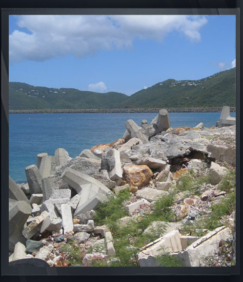
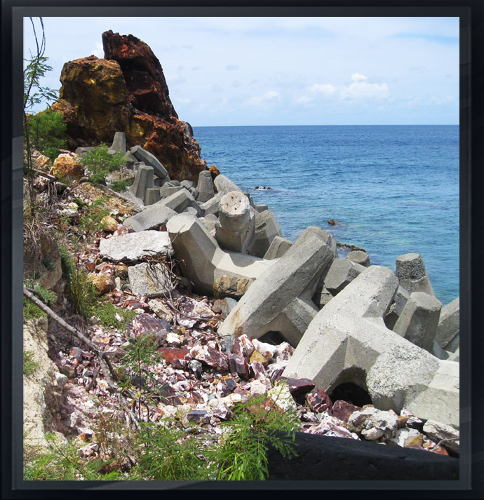
Arc Surveying & Mapping, Inc. conducted a high-resolution topographic and bathymetric survey of the existing rock revetment along approximately 1,675 feet of the west shoreline at Cyril E King Airport, Charlotte Amalie, St. Thomas, USVI.
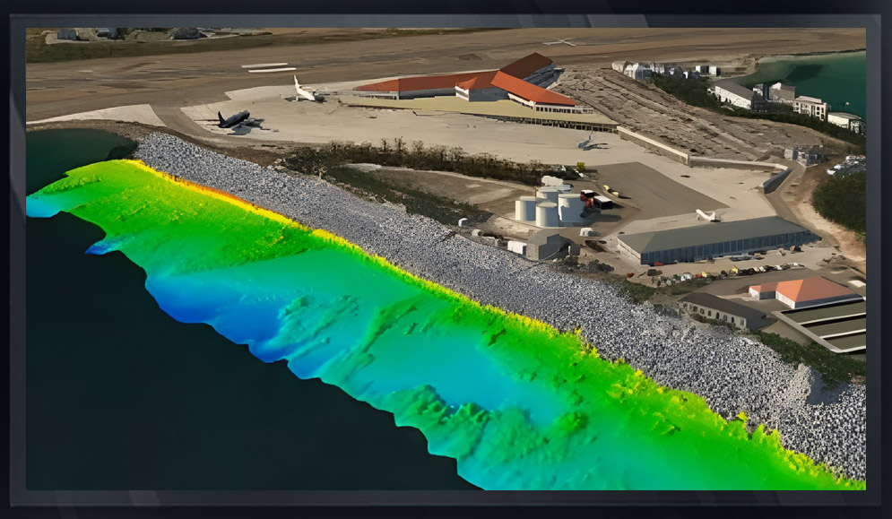
The topographic survey was conducted utilizing a drone (UAV) and static terrestrial 3D laser scanning techniques. In addition, a multibeam swath bathymetric survey was performed along the shoreline limits, extending 100 feet seaward.
Topographic and hydrographic data were merged into a 3D digital terrain model (DTM) The survey provided detailed existing conditions of the shoreline and a base for design and construction of additional slope restoration and protection.

SURVEY TASKS INCLUDED:
- Establish/Verify Horizontal and Vertical Site Control.
- Perform UAV (drone) high resolution topographic survey. Limits of survey included the entire extent of the visible rock revetment plus 75 feet landward.
- Data acquisition performed with a I Map – M4 quad copter configured with a Sony A6000 camera and V-Map GPS RTK differential system. Flight altitude was performed at 50 meters with a ground resolution of 1.5 cm per pixel.
- Ground control points were established and verified to UAV spot elevations. Data included the acquisition of concrete access stairs, pipeline network, fence and west edge of existing buildings.
- A Multibeam survey was performed along the shoreline limits. Data was acquired as close to water’s edge as feasible and extended 100 feet seaward.
- Deliverables included maps and digital files of survey results. Maps included limits of riprap, spot elevation points, 1-foot contours. Digital included AutoCAD drawings, PDF, Survey Report, and associated XYZ files. dditional products included high resolution Orthoimagery, georeferenced aerial imagery, 3D Digital Surface Model (DSM).

