3D MAPPING AND MODELING
OUR SERVICES INCLUDE

3D MAPS – MODELS – HOLOGRAMS – IN ALL POPULAR FORMATS
...
Arc Surveying & Mapping, Inc. provides topographic, hydrographic, and geophysical surveys, including maps and models of land and marine facilities throughout North and South America and the Caribbean Islands.
Arc’s mappers are highly proficient in the use of AutoCAD, MicroStation, and GIS, along with many other types of CAD and engineering applications.
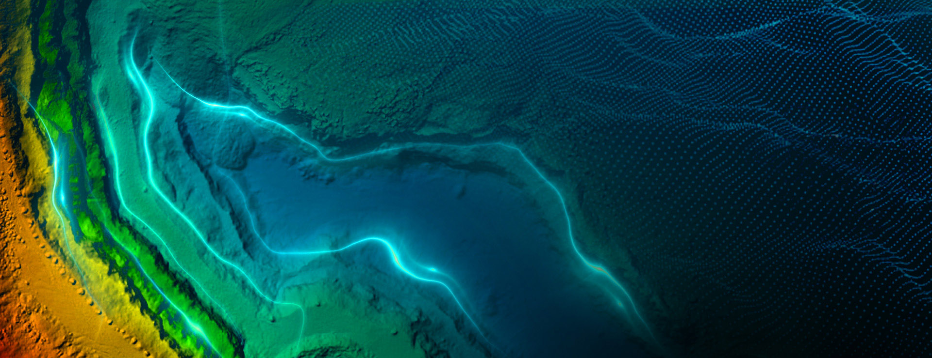
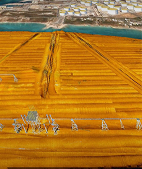
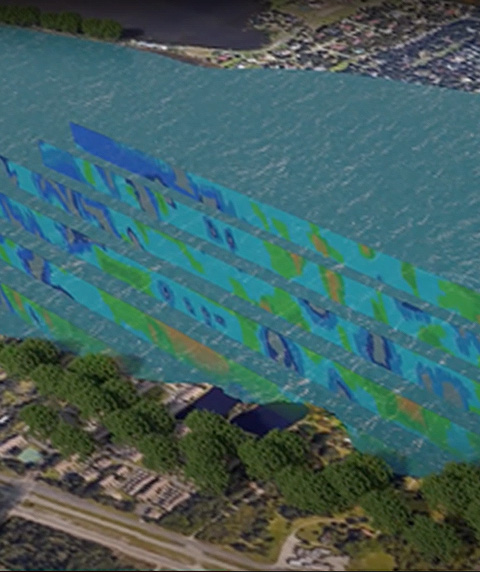
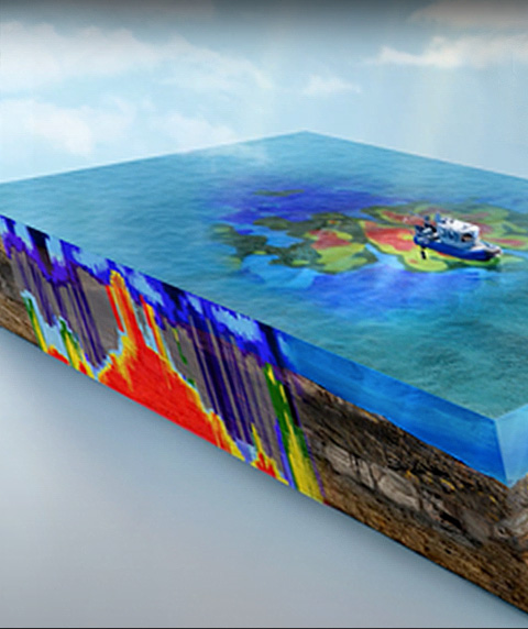
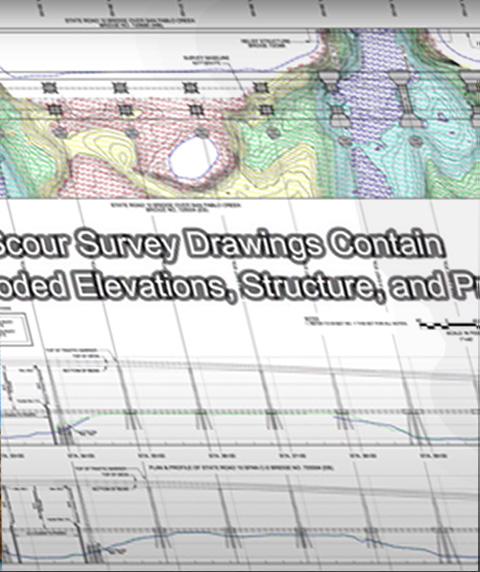
We produce precise topographic, bathymetric, and geophysical maps, digital terrain models, and volume computations. Maps are provided in paper or digital format, on compact discs, or through electronic transfer in English or metric units.
We utilize the most current technology available to ensure a quality product at the most economical rates. Costs are based on the complexity of the task and the estimated time to produce a finished product.
Always moving towards the future, Arc provides interactive three-dimensional (3D) data of surveys to engineering and construction clients, permitting design to build or redesign on precise as-built models.
INTERACTIVE 3D MODEL
VISIT OUR YOUTUBE CHANNEL FOR MORE EXAMPLES
hydrographic, topographic, geophysical, static and mobile Laser scanning, shoaling surveys, probing, contaminated sediment surveys, acoustic doppler current profiling, quantity calculations, Blueview imagery, side-scan sonar imagery, condition, pre and post dredging surveys, chemical analysis, magnetometer surveys, deformation, emergency, structural monitoring, crane measurements, berth surveys, drone (UAV) LiDAR, video and photogrammetric inspection surveys, 3D Interactive modeling, asset management, geographic Information systems, GIS, AutoCAD, MicroStation