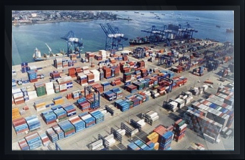
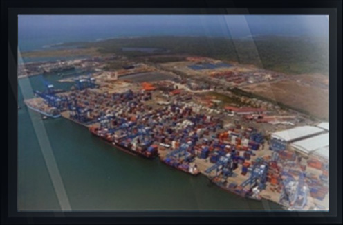
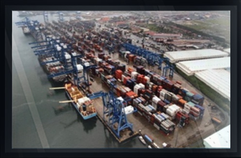
MANZANILLO INTERNATIONAL TERMINAL
...
COCO SOLO, REPUBLICA DE PANAMA
HARBOUR DEEPENING
A BATHYMETRIC SURVEY OF THE ENTRANCE CHANNEL
TURNING BASIN AND WATER FRONT FACILITIES FOR MANZANILLO INTERNATIONAL TERMINAL PANAMA, S.A.
Arc Surveying & Mapping, Inc. mobilized a fully equipped multibeam swath survey vessel to the Manzanillo International Terminal (MIT) in Coco Solo, Panama, SA performing an existing condition multibeam swath baseline survey for anticipated maintenance, deepening and widening dredging projects resulting from expansion.
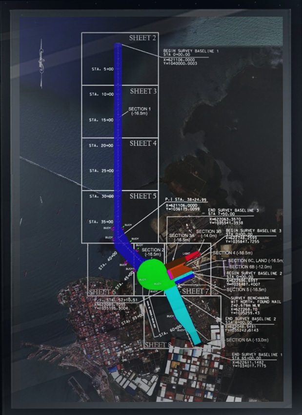
The survey area consisted of the Atlantic seaward approach to the canal into Manzanillo Bay, the facility turning basin and channel leading to the facility, as well as all berths within the facility.
Planviews, cross sections and cubic yard quantities were provided utilizing the updated waterside planimetrics acquired by Arc.
Local horizontal and vertical control were verified and noted on Arc drawings for MIT use on upcoming deepening and maintenance dredging projects.
Bathymetry data along the existing bulkheads and mooring dolphins were acquired including sediments under pile supported berths.
Arc provided survey data point clouds to the client along the berths and mooring dolphins in a 3D viewer. The viewer allowed MIT management to visualize sediment accumulation at different rotations, measurable within the point cloud.
...
The point cloud, comprised of hundreds of thousands of data points that were collected of the structures and seafloor, permitted visualization and quantification of sediment accumulation and the surface condition of piling and sheeting, as well as the interface of structures and the seafloor.
MIT management continues to send contract dredger pre and post dredge survey data to Arc for quality control and dredging quantity verification.