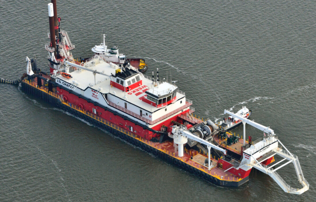
Weeks Marine selects Arc Surveying & Mapping to provide hydrographic and geophysical surveying services after winning $62 million Alabama Harbor...
Read More >>

ARC Surveying & Mapping Celebrating Women in Construction!
Today we celebrate Teresa Casiano Sawyer – Women In Construction! You can see more details in the Video below or...
Read More >>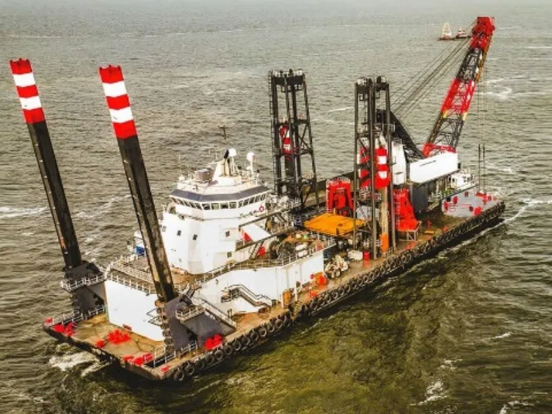
ARC Surveying & Mapping Awarded Surveying of San Juan, PR Harbor by Curtin Maritime
Arc Surveying & Mapping, Inc. has been selected by Curtin Maritime to provide hydrographic and geophysical surveying services on the...
Read More >>